2 entries match your criteria.
Related Historical Markers
By Craig Swain, September 1, 2010
Fort Pillow Marker
SHOWN IN SOURCE-SPECIFIED ORDER
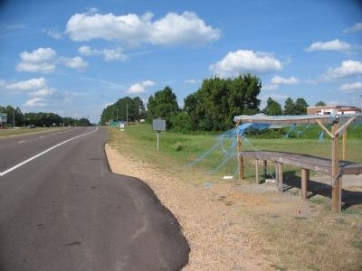
| On Jefferson Davis Highway (U.S. 51) at Graves Street (State Highway 87), on the right when traveling north on Jefferson Davis Highway. |
| | Federal forces captured this important Confederate work, 18 miles west, in 1862. To end depredations committed by the Federal garrison, Forrest, with a force from his Confederate Cavalry Corps, attacked and captured the fort. Of the garrison of 551 . . . — — Map (db m43263) HM |
| On Adams Avenue at B.B. King Boulevard (Tennessee Route 14), on the right when traveling east on Adams Avenue. Reported damaged. |
| |
From 1854 to 1860, Nathan Bedford Forrest operated a profitable slave trading business at this site. In 1826, Tennessee had prohibited bringing enslaved people into the state for the purpose of selling them. As cotton and slavery grew in . . . — — Map (db m117144) HM |
May. 18, 2024