2 entries match your criteria.
Related Historical Markers
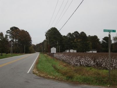
By Bernard Fisher, October 27, 2012
Gen Thomas Hwy & Handsom Rd
SHOWN IN SOURCE-SPECIFIED ORDER
| 1 ► Virginia, Southampton County, Franklin — U-116 — The Hand Site — |
| East of here near the Nottoway River stood a Late Woodland Indian settlement occupied intermittently circa A.D. 700 to 1650, and long claimed by the Cheroenhaka (Nottoway). Excavated in the 1960s, occupation phases included features such as a . . . — — Map (db m60635) HM | |||
| 2 ► Virginia, Virginia Beach, Great Neck — KV-13 — Chesapeake Indians — |
| In 1585, two towns of the Chesapeake Indians called Apasus and Chesepiooc were visited by the English Roanoke expedition and later included in Theodor De Bry's map of Virginia. Archaeological research conducted in the Great Neck . . . — — Map (db m69664) HM | |||