2 entries match your criteria.
Related Historical Markers
By Bernard Fisher, October 27, 2012
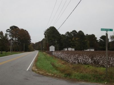
Gen Thomas Hwy & Handsom Rd
SHOWN IN SOURCE-SPECIFIED ORDER
| 1 ► Virginia, Southampton County, Franklin — U-116 — The Hand Site — |
| On General Thomas Highway (Virginia Route 671) at Handsom Road (Virginia Route 734), on the right when traveling east on General Thomas Highway. | |||
| 2 ► Virginia, Virginia Beach, Great Neck — KV-13 — Chesapeake Indians — |
| On Thomas Bishop Lane near North Great Neck Road, on the right when traveling north. | |||