3 entries match your criteria.
Related Historical Markers
Mission Aqueduct Sites.
By Craig Baker, May 17, 2018
Rancho Cañada Larga Marker
SHOWN IN SOURCE-SPECIFIED ORDER
| On Cañada Larga Road east of California Route 33, on the left when traveling east. |
| | Rancho Cañada Larga o Verde, as it was originally known, came out of lands of the San Buenaventura Mission. Following Mexican independence from Spain, Joaquina Alvarado de Moraga, whose late husband, Gabriel Moraga, was a distinguished soldier of . . . — — Map (db m124924) HM |
| Near Valdez Alley north of East Main Street. |
| |
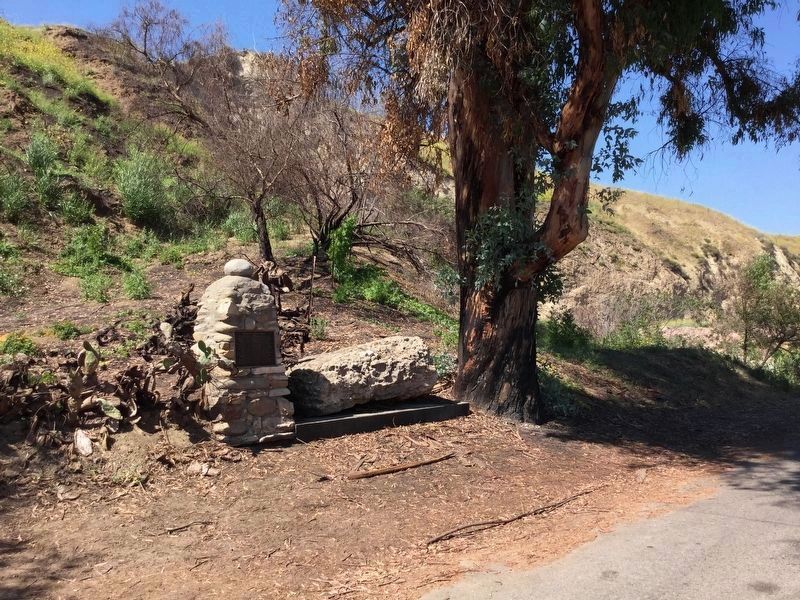
Friar Pedro Benito Cambón—the mission’s co-founder was highly regarded for his knowledge of irrigation, agriculture and building construction—directed Chumash laborers to build this filtration building in 1792 as part of the mission’s timber, . . . — — Map (db m124925) HM |
| Near Main Street west of Palm Avenue. |
| | San Buenaventura Mission was an oasis of abundance. Visitors, including British Captain George Vancouver (1793) and the American California resident Alfred Robinson (early 1800s), commented on the good yield of the gardens and orchards.
The nearby . . . — — Map (db m135860) HM |
May. 13, 2024