Ventura in Ventura County, California — The American West (Pacific Coastal)
El Caballo
Mission Aqueduct
Photographed by Craig Baker, May 17, 2018
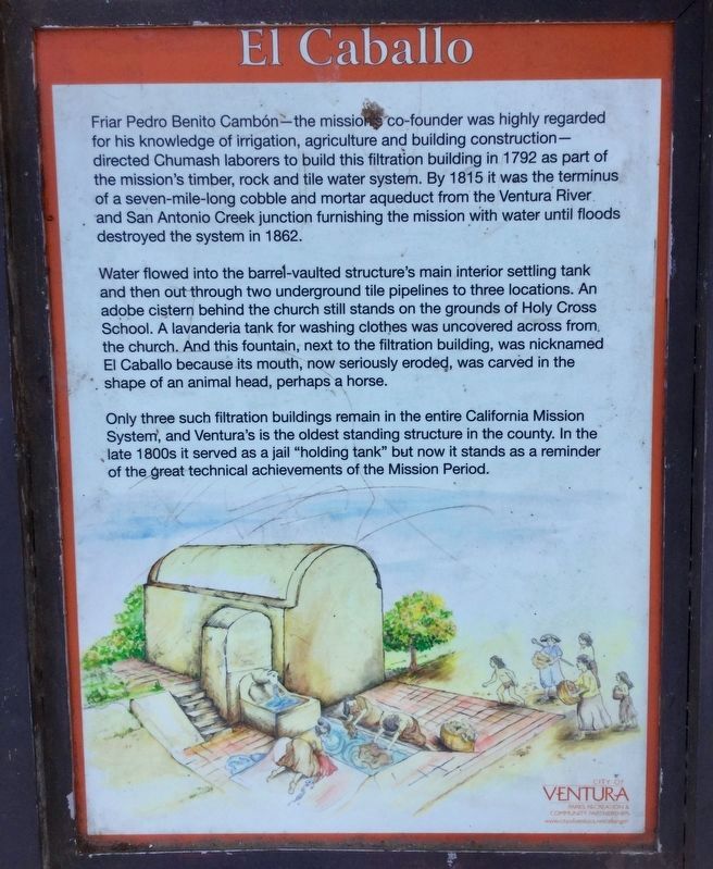
1. El Caballo Fountain Marker
Friar Pedro Benito Cambón—the mission’s co-founder was highly regarded for his knowledge of irrigation, agriculture and building construction—directed Chumash laborers to build this filtration building in 1792 as part of the mission’s timber, rock and tile water system. By 1815 it was the terminus of a seven-mile-long cobble and mortar aqueduct from the Ventura River and San Antonio Creek junction furnishing the mission with water until floods destroyed the system in 1862.
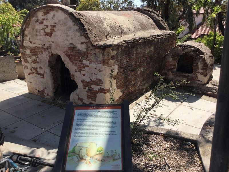
Water flowed into the barrel-vaulted structure’s main interior settling tank and then out through two underground tile pipelines to three locations. An adobe cistern behind the church still stands on the grounds of Holy Cross School. A lavanderia tank for washing clothes was uncovered across from the church. And this fountain, next to the filtration building, was nicknamed El Caballo because its mouth, now seriously eroded, was carved in the shape of an animal head, perhaps a horse.
Only three such filtration buildings remain in the entire California Mission System, and Ventura’s is the oldest standing structure in the county. In the late 1800s
this page online
Erected by City of Ventura. (Marker Number 114.)
Topics and series. This historical marker is listed in this topic list: Man-Made Features. In addition, it is included in the California Historical Landmarks series list.
Location. 34° 16.893′ N, 119° 17.974′ W. Marker is in Ventura, California, in Ventura County. It can be reached from Valdez Alley north of East Main Street. Located in Eastwood Park, northwest of the Albinger Archaeological Museum. Touch for map. Marker is in this post office area: Ventura CA 93001, United States of America. Touch for directions.

Regionally, this marker is in Greater Los Angeles, on the Central Coast, and in the Transverse Ranges. It is also on the American Pacific Coast. Globally, it is in North America, on the Ring of Fire, on the Pacific Rim, in the Western Hemisphere, in the Western World, and in the Anglosphere. Historically, it finds itself in what was once New Spain and also Mexico’s Alta California.
Photographed by Craig Baker, May 17, 2018
2. El Caballo Fountain
This settling basin and fountain are on a hillside near the Ventura Mission.
Other nearby markers. At least 8 other markers are within walking distance of this marker: San Buenaventura Mission Aqueduct (about 600 feet away, measured in a direct line); Mission San Buenaventura (about 600 feet away); Fray Junipero Serra (about 600 feet away); Chumash People, Produce and Livestock at The Mission (about 600 feet away); San Buenaventura Mission Quadrangles (about 700 feet away); Chumash Daily Life At The Mission (about 700 feet away); Lavanderia (about 700 feet away); Peirano Market (about 700 feet away). Touch for a list and map of all markers in Ventura.
More about this marker. This location is California State Historical Landmark No. 114 “Old Mission Reservoir” and nearby marker Rancho Cañada Larga is California State Historical Landmark No. 114-1 “San Buenaventura Mission Aqueduct”. Both are also listed on the National Register of Historic Places.
Related markers. Click here for a list of markers that are related to this marker. - Mission Aqueduct Sites.
Also see . . . Albinger Archaeological Museum. El Caballo is located nearby. (Submitted on April 30, 2021, by Larry Gertner of New York, New York.)
Photographed by Craig Baker
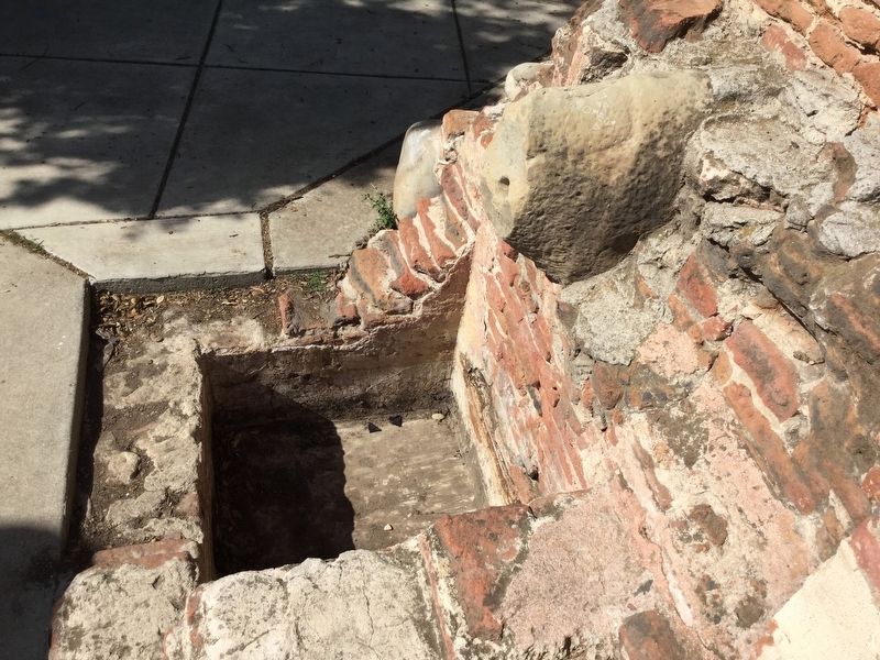
3. El Caballo Fountain
Behind the Filtration Building.
Credits. This page was last revised on June 30, 2024. It was originally submitted on May 28, 2018, by Craig Baker of Sylmar, California. This page has been viewed 1,962 times since then and 178 times this year. Last updated on October 15, 2018, by Craig Baker of Sylmar, California. Photos: 1, 2, 3. submitted on May 21, 2018, by Craig Baker of Sylmar, California. • Andrew Ruppenstein was the editor who published this page.
