3 entries match your criteria.
Related Historical Markers
Other markers related to Chief McIntosh and Indian land treaties.
By Duane and Tracy Marsteller, June 10, 2023
McIntosh House Marker (missing)
SHOWN IN SOURCE-SPECIFIED ORDER
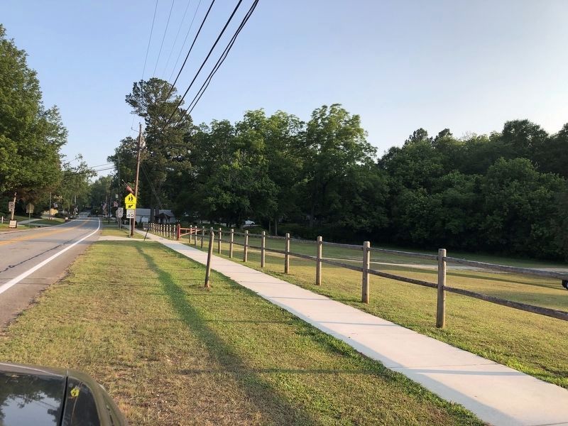
| On Highway 42, on the right when traveling south. Reported missing. |
| | Across the highway stands the inn built about 1823 by William McIntosh, half-breed chief of the Lower Creek Indians. Here on February 12, 1825, McIntosh and other chiefs signed the Second Treaty of Indian Springs, giving up their last Georgia land. . . . — — Map (db m395) HM |
| On West McIntosh Circle, 2 miles south of Georgia Route 5, on the left when traveling south. |
| | William McIntosh, Scotch-Coweta Chief of the Coweta Towns, distinguished soldier in the battle of Autossee and Horseshoe Bend, and in the Seminole Wars with the rank of Brigadier-General, was killed by Upper Creeks and is buried here, the site of . . . — — Map (db m12548) HM |
| On West McIntosh Circle, 2 miles south of Georgia Route 5, on the right when traveling east. |
| | Here at the home of Creek Chief Wm McIntosh, a treaty establishing a new boundary between the CHEROKEE and CREEK Indian Nations was drafted and signed. The north boundary was later used in the first survey of Carroll County in 1826-27. — — Map (db m12547) HM |
May. 2, 2024