2 entries match your criteria.
Related Historical Markers
The 1863 Siege of Knoxville
By Cosmos Mariner, May 10, 2019
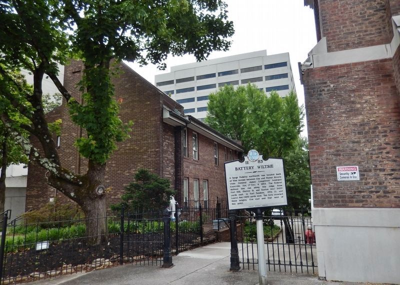
Battery Wiltsie Marker (wide view; Immaculate Conception Catholic Church is right of marker)
SHOWN IN SOURCE-SPECIFIED ORDER
| On West Vine Avenue east of Walnut Street, on the left when traveling west. |
| | A large Federal earthwork was located back of Vine Avenue between Gay and Walnut Streets when General James Longstreet besieged Knoxville, Nov. 17-Dec. 4, 1863. The Federal defense line ran along this ridge from Fort Hill, (Surrey St. and Saxton . . . — — Map (db m133841) HM |
| Near Fort Dickerson Road west of Chapman Highway SW, on the left when traveling north. |
| | Introduction.
After defeating the Union Army of the Cumberland in the bloody battle of Chickamauga (Sep 18-20, 1863) and besieging the Federal provisions in the city of Chattanooga, Confederate Army of Tennessee Commander Gen. Braxton Bragg . . . — — Map (db m231248) HM |
May. 4, 2024