5 entries match your criteria.
Related Historical Markers
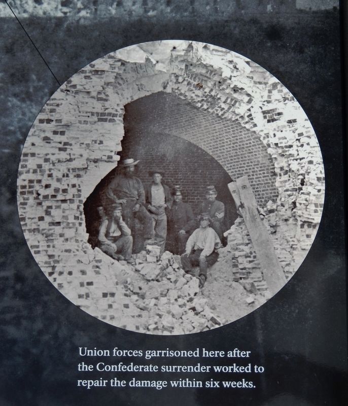
Marker detail: Union forces garrisoned here after Confederate surrender worked to repair the damage
SHOWN IN SOURCE-SPECIFIED ORDER
| 1 ► Georgia, Chatham County, Tybee Island — 5,275 Shots & Shells in 30 Hours — Fort Pulaski National Monument — |
| Near Fort Pulaski Road, 1 mile north of U.S. 80. | |||
| 2 ► Georgia, Chatham County, Tybee Island — A Devastating Bombardment — Fort Pulaski National Monument — |
| Near Fort Pulaski Road, 1 mile north of U.S. 80. | |||
| 3 ► Georgia, Chatham County, Tybee Island — Through the Thick Brick Wall — Fort Pulaski National Monument — |
| Near Fort Pulaski Road, 1 mile north of U.S. 80. | |||
| 4 ► Georgia, Chatham County, Tybee Island — Prepared for Battle — Fort Pulaski National Monument — |
| Near Fort Pulaski Road, 1 mile north of U.S. 80. | |||
| 5 ► Georgia, Chatham County, Tybee Island — Federal Siege Batteries — |
| Near Fort Pulaski Road, on the right when traveling north. | |||