4 entries match your criteria.
Related Historical Markers
By Bill Kirchner, October 2, 2018
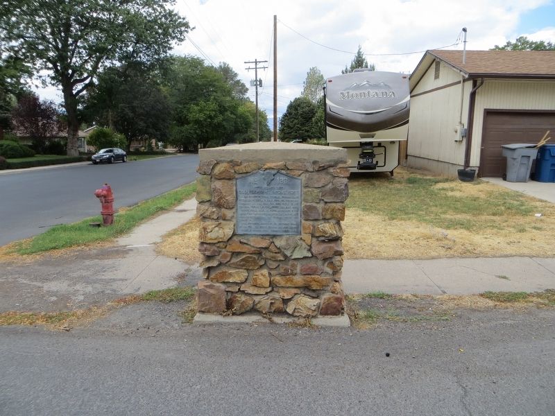
Old Pleasant Grove Fort Marker
SHOWN IN SOURCE-SPECIFIED ORDER
| On South 300 East at East 300 South, on the right when traveling south on South 300 East. |
| On West 300 South at South 100 West, on the right when traveling west on West 300 South. |
| On North 100 West at 100 North, on the right when traveling north on North 100 West. |
| On North 300 East at East 100 North, on the left when traveling north on North 300 East. |
May. 2, 2024