3 entries match your criteria.
Related Historical Markers
By Cosmos Mariner, May 14, 2016
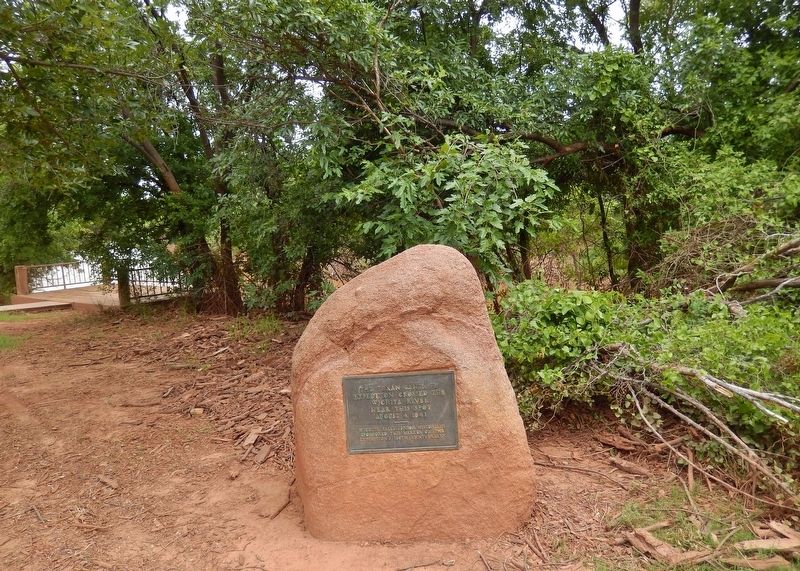
Texan Santa Fe Expedition Marker (wide view; Wichita River overlook in background on left)
SHOWN IN SOURCE-SPECIFIED ORDER
| 1 ► Texas, Wichita County, Wichita Falls — Texan Santa Fe Expedition — |
| Near Sunset Drive, 0.1 miles north of 3rd Street, on the right when traveling north. | |||
| 2 ► Texas, Williamson County, Georgetown — 9362 — Texan Santa Fe Expedition — |
| On SH-29, on the right when traveling west. | |||
| 3 ► Texas, Briscoe County, Quitaque — 673 — Camp Resolution — of the Texan Santa Fe expedition — |
| On Ranch to Market Road 1065, 0.4 miles south of Farm to Market Road 689, on the left when traveling south. | |||