Near Kingsville in Harford County, Maryland — The American Northeast (Mid-Atlantic)
Harry Gilmor's Raid
"Great excitement in … Harford County"
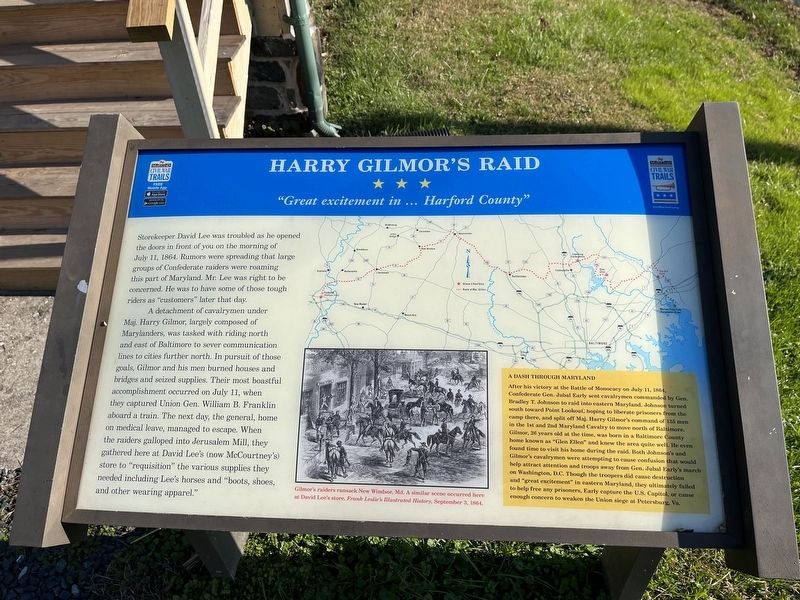
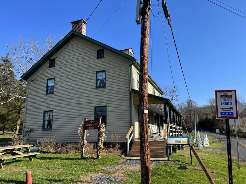
Storekeeper David Lee was troubled as he opened the doors in front of you on the morning of July 11, 1864. Rumors were spreading that large groups of Confederate raiders were roaming this part of Maryland. Mr. Lee was right to be concerned. He was to have some of those tough riders as "customers" later that day.
A detachment of cavalrymen under Maj. Harry Gilmor, largely composed of Marylanders, was tasked with riding north and east of Baltimore to sever communication lines to cities further north. In pursuit of those goals, Gilmor and his men burned houses and bridges and seized supplies. Their most boastful accomplishment occurred on July 11, when they captured Union Gen. William B. Franklin aboard a train The next day, the general, home on medical leave, managed to escape. When the raiders galloped into Jerusalem Mill, they gathered here at David Lee's (now McCourtney's) store to "requisition" the various supplies they needed included Lee's horses and "boots, shoes, and other wearing apparel."
[Sidebar:]
A Dash Through Maryland
After his victory at the Battle of Monocacy on July 11, 1864, Confederate Gen. Jubal Early sent cavalrymen commanded by Gen. Bradley T. Johnson to raid into eastern Maryland. Johnson turned south toward Point Lookout, hoping to liberate prisoners from the camp there, and split off Maj. Harry Gilmor's command of 135 men in the 1st and 2nd Maryland Cavalry to move north of Baltimore. Gilmor, 26 years old at the time, was born in a Baltimore County home known as "Glen Ellen" and knew the area quite well. He even found time to visit his home during the raid. Both Johnson's and Gilmor's cavalrymen were attempting to cause confusion that would help attract attention and troops away from Gen. Jubal Early's march on Washington, D.C. Though the troopers did cause destruction and "great excitement" in eastern Maryland, they ultimately failed to help free any prisoners, Early capture the U.S. Capitol, or cause enough concern to weaken the Union siege at Petersburg, Va.
Erected by Maryland Civil War Trails.
Topics and series. This historical marker is listed in these topic lists: Industry & Commerce • War, US Civil. In addition, it is included in the Maryland Civil War Trails series list. A significant historical date for this entry is July 11, 1864.
Location. 39° 27.782′ N, 76° 23.345′ W. Marker is near Kingsville, Maryland, in Harford County. Marker is at the intersection of Jerusalem Road and Jericho Road when traveling east on Jerusalem Road. Touch for map. Marker is at or near this postal address: 2800 Jerusalem Rd, Kingsville MD 21087, United States of America. Touch for directions.
Other nearby markers. At least 8 other markers are within 2 miles of
Related marker. Click here for another marker that is related to this marker. This marker has replaced the linked marker.
Credits. This page was last revised on November 19, 2022. It was originally submitted on November 19, 2022, by Devry Becker Jones of Washington, District of Columbia. This page has been viewed 258 times since then and 36 times this year. Photos: 1, 2. submitted on November 19, 2022, by Devry Becker Jones of Washington, District of Columbia.

