Scherr near Keyser in Grant County, West Virginia — The American South (Appalachia)
Greenland Gap Engagement
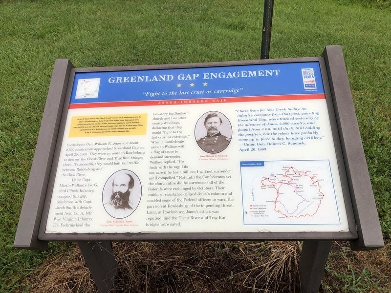
"Fight to the last crust or cartridge"
— Jones-Imboden Raid —
On April 20, 1863, Confederate Gens. William E. "Grumble" Jones and John D. Imboden began a raid on the Baltimore and Ohio Railroad from Virginia through present-day West Virginia. Taking separate routes, they later reported that they marched 1,100 miles, fought several engagements, captured 700 Federals, seized about 1,700 horses and 4,000 cattle, and burned 4 turnpike bridges, more than 20 railroad bridges, 2 trains, and 150,000 barrels of oil. Most bridges were soon repaired. Confederate losses were slight. By May 26, both commands had returned to Virginia's Shenandoah Valley.
Confederate Gen. William E. Jones and about 2,500 cavalrymen approached Greenland Gap on April 25, 1863. They were en route to Rowlesburg to destroy the Cheat River and Tray Run bridges there. If successful, they would halt rail traffic between Rowlesburg and the Ohio River.
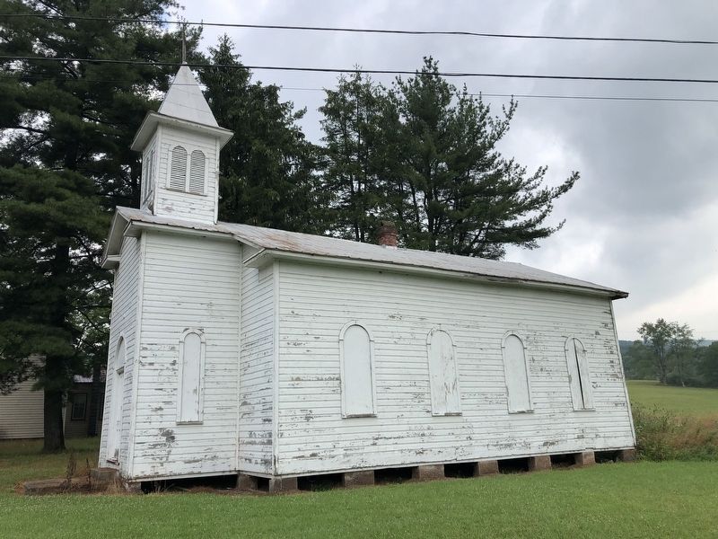
Union Capt. Martin Wallace's Co. G, 23rd Illinois Infantry, occupied this gap, reinforced with Capt. Jacob Smith's detachment from Co. A, 14th West Virginia Infantry. The Federals held the two-story log Dunkard church and two other nearby dwellings declaring that they would "fight to the last crust or cartridge." When a Confederate came to Wallace with a flag of truce to demand surrender, Wallace replied, "Go back with the rag; I do not care if he has a million; I will not surrender until compelled." Not until the Confederates set the church afire did he surrender (all of the Federals were exchanged by October. Their stubborn resistance delayed Jones's column and enabled some of the Federal officers to warn the garrison at Rowlesburg of the impending threat. Later, at Rowlesburg, Jones's attack was repulsed, and the Cheat River and Tray Run bridges were saved.
"I have fears for New Creek to-day. An infantry company from that post, guarding Greenland Gap, was attacked yesterday by the advance of Jones, 2,000 cavalry, and fought from 4 P.M. until dark. Still holding the position, but the rebels have probably come up in force to-day, bringing artillery."
— Union Gen. Robert C. Schenck, April 26, 1863
Erected by West Virginia Civil War Trails.
Topics and series. This historical marker is listed in these topic lists: Railroads & Streetcars • War, US Civil. In addition, it is included in the Baltimore and Ohio Railroad (B&O), and the West Virginia Civil War Trails series lists. A significant historical date for this entry is April 20, 1863.
Location. 39° 11.607′ N, 79° 10.206′ W. Marker is near Keyser, West Virginia, in Grant County. It is in Scherr. Marker is at the intersection
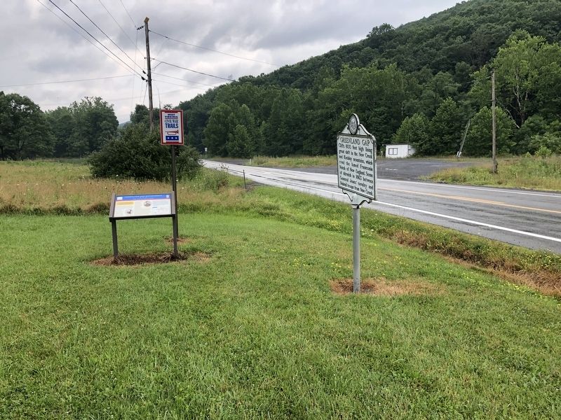
Other nearby markers. At least 8 other markers are within 9 miles of this marker, measured as the crow flies. Greenland Gap (here, next to this marker); Jarboe's Blockhouse (approx. 6.6 miles away); In Honor (approx. 6.7 miles away); Honor Roll (approx. 6.9 miles away); Vincent Williams (approx. 7.7 miles away); Nancy Hanks (approx. 8.6 miles away); Mineral County / Grant County (approx. 8.7 miles away); By King’s Command (approx. 8.9 miles away).
Related marker. Click here for another marker that is related to this marker. This marker has replaced the linked marker which had different content.
Credits. This page was last revised on April 11, 2023. It was originally submitted on July 31, 2021, by Devry Becker Jones of Washington, District of Columbia. This page has been viewed 322 times since then and 20 times this year. Photos: 1, 2, 3. submitted on July 31, 2021, by Devry Becker Jones of Washington, District of Columbia.


