3 entries match your criteria.
Related Historical Markers
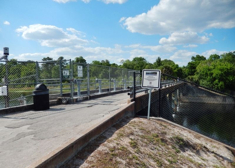
Little Econlockhatchee River Flood Control
By Cosmos Mariner, April 6, 2021
Michaels Dam Marker
SHOWN IN SOURCE-SPECIFIED ORDER
| Near Jay Blanchard Trail, 0.5 miles west of Rouse Road, on the right when traveling west. |
| | One of five structures built by Orange County Public Works for flood control in the Little Econlockhatchee River Completed in 1965 Orange County Government Florida — — Map (db m170338) HM |
| Near Harrell Road, 0.4 miles north of East Colonial Drive (Florida Route 50), on the left when traveling north. |
| | One of five structures built by Orange County Public Works for flood control in the Little Econlockhatchee River Completed in 1968 Orange County Government Florida — — Map (db m170339) HM |
| Near East Colonial Drive (Florida Route 50) west of Central Park Avenue, on the right when traveling west. |
| | One of five structures built by Orange County Public Works for flood control in the Little Econlockhatchee River Completed in 1970 Orange County Government Florida — — Map (db m170340) HM |
May. 2, 2024