Union Park in Orange County, Florida — The American South (South Atlantic)
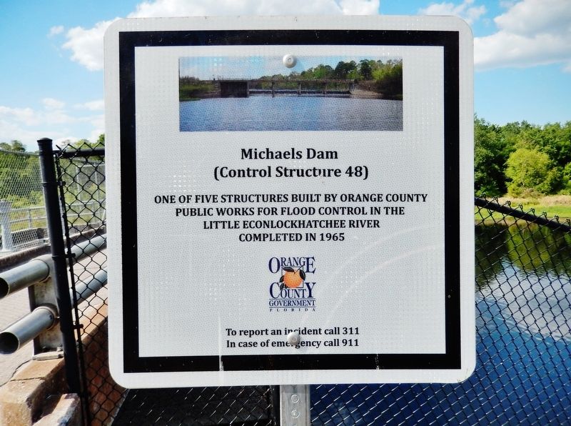
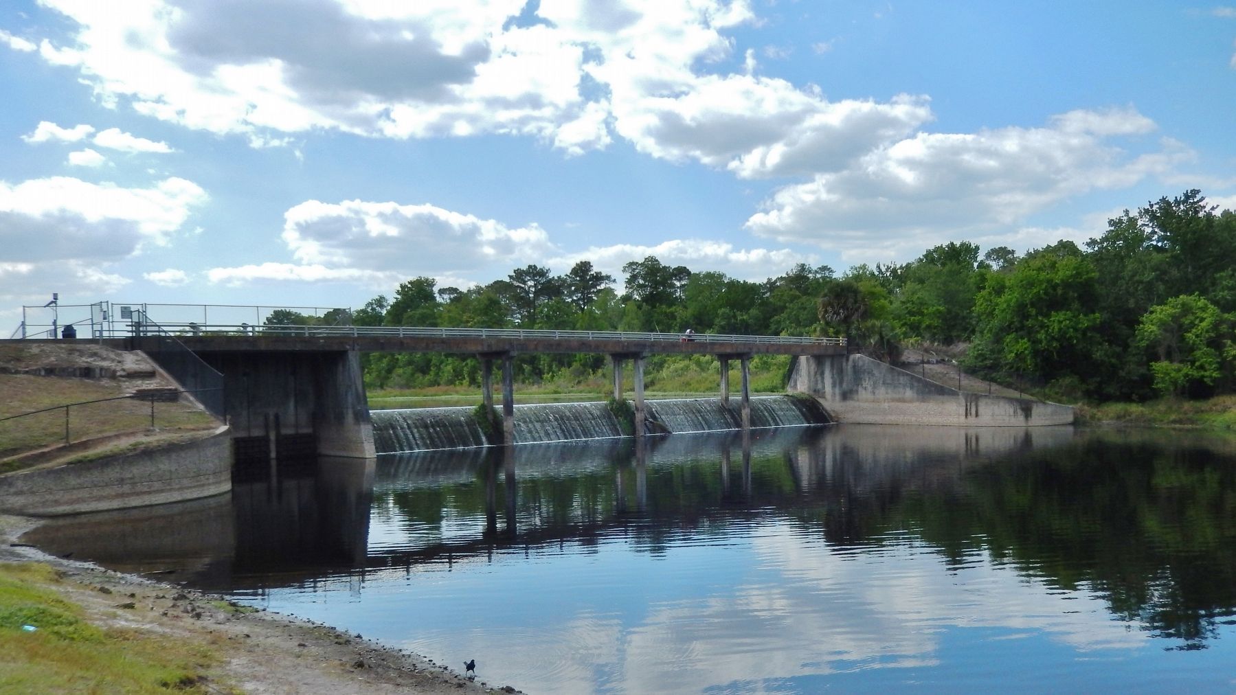
Michaels Dam
(Control Structure 48)
Public Works for flood control in the
Little Econlockhatchee River
Completed in 1965
Orange County Government
Florida
Erected by Orange County Florida.
Topics. This historical marker is listed in these topic lists: Parks & Recreational Areas • Waterways & Vessels. A significant historical year for this entry is 1965.
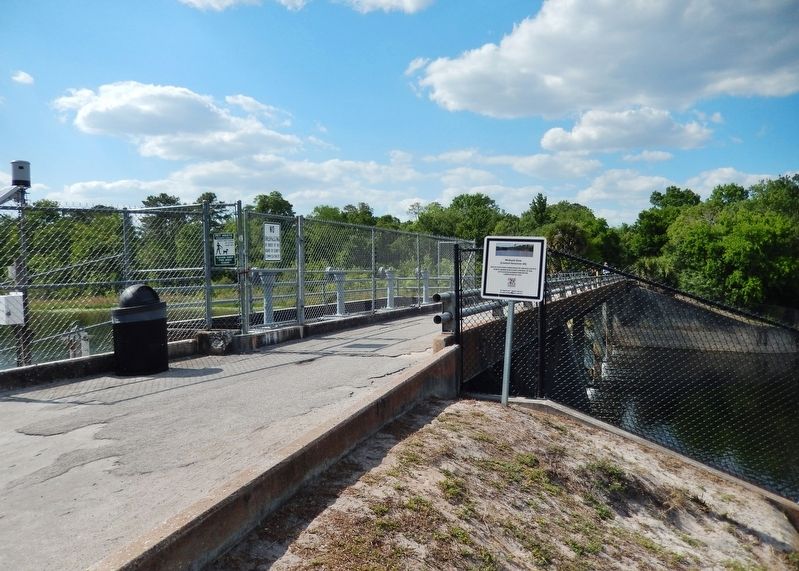
Location. 28° 34.912′ N, 81° 13.913′ W. Marker is in Union Park, Florida, in Orange County. Marker can be reached from Jay Blanchard Trail, half a mile west of Rouse Road, on the right when traveling west. Marker is located along the Little Econ Greenway trail, overlooking the subject dam and the Little Econlockhatchee River. Touch for map. Marker is in this post office area: Orlando FL 32817, United States of America. Touch for directions.
Other nearby markers. At least 8 other markers are within 4 miles of this marker, measured as the crow flies. Drawdy-Rouse Cemetery (approx. 1.9 miles away); Banner Dam (approx. 2.4 miles away); Cheney Dam (approx. 3.1 miles away); Gabriella (approx. 3.4 miles away); Jamestown (approx. 3.4 miles away); SGT Gene A. Hawkins (approx. 3.7 miles away); Marine SGT Kenneth Conde Jr. (approx. 3.7 miles away); The K-9 Heroes (approx. 3.7 miles away).
Related markers. Click here for a list of markers that are related to this marker. Little Econlockhatchee River Flood Control
Also see . . . Little Econlockhatchee River (Wikipedia). The Little Econlockhatchee River (or Little Econ River) is a major tributary of the Econlockhatchee River. It originates at an unnamed lake near Orlando, Florida in southeast Orange County, and flows some 18 miles to its mouth at Oviedo. (Submitted on April 7, 2021, by Cosmos Mariner of Cape Canaveral, Florida.)
Credits. This page was last revised on April 7, 2021. It was originally submitted on April 7, 2021, by Cosmos Mariner of Cape Canaveral, Florida. This page has been viewed 547 times since then and 41 times this year. Photos: 1, 2, 3. submitted on April 7, 2021, by Cosmos Mariner of Cape Canaveral, Florida.


