Marker Logo HMdb.org THE HISTORICAL
MARKER DATABASE
“Bite-Size Bits of Local, National, and Global History”


6 entries match your criteria.  


Related Historical Markers

 
African American Heritage Site Marker image, Touch for more information
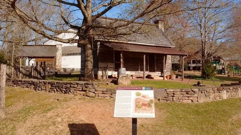
By Tom Bosse, April 5, 2018
African American Heritage Site Marker
SHOWN IN SOURCE-SPECIFIED ORDER
1 Georgia, White County, Sautee Nacoochee — African American Heritage Site
On Georgia Route 255, on the left when traveling north.
2 Georgia, White County, Sautee Nacoochee — Slave DwellingAfrican American Heritage Site
On Georgia Route 255, on the left when traveling north.
3 Georgia, White County, Sautee Nacoochee — Emancipation WallAfrican American Heritage Site
Near Georgia Route 255, 0.2 miles north of Unicoi Turnpike (Georgia Route 17), on the left when traveling north.
4 Georgia, White County, Sautee Nacoochee — Cooling Vat
On Georgia Route 255, on the left when traveling north.
5 Georgia, White County, Sautee Nacoochee — MillstonesAfrican American Heritage Site
On Georgia Route 255, on the left when traveling north.
6 Georgia, White County, Sautee Nacoochee — Slave Garden
On Georgia Route 255, on the left when traveling north.
 
 
CeraNet Cloud Computing sponsors the Historical Marker Database.
This website earns income from purchases you make after using our links to Amazon.com. We appreciate your support.
Paid Advertisement
May. 18, 2024