Petersburg in Grant County, West Virginia — The American South (Appalachia)
Fort Mulligan
Protecting Looney's Creek (Petersburg)
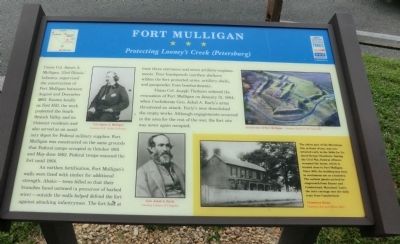
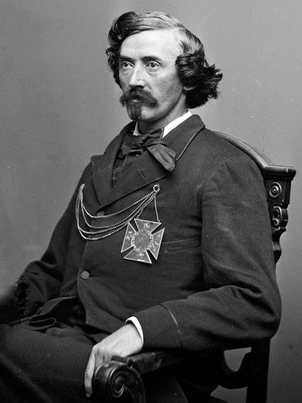
Union Col. James A. Mulligan, 23rd Illinois Infantry, supervised the construction of Fort Mulligan between August and December 1863. Known locally as Fort Hill, the work protected the South Branch Valley and its Unionist residents and also served as an auxiliary depot for Federal camps occupied in October 1861 and May-June 1862. Federal troops manned the fort until 1864.
An earthen fortification, Fort Mullgan’s walls were lined with timber for additional strength. Abatis---trees felled so that their branches faced outward (a precursor of barbed wire)---outside the walls helped defend the fort against attacking infantrymen. The fort had at least three entrances and seven artillery emplacements. Four bombproofs (earthen shelters) within the fort protected arms, artillery shells, and gunpowder from bombardments.
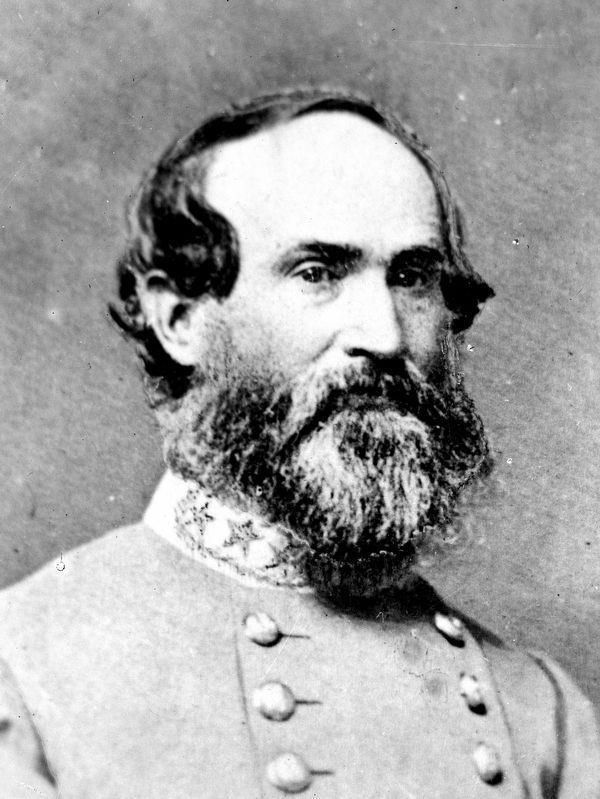
Union Col. Joseph Thoburn ordered the evacuation of Fort Mulligan on January 31, 1864, when Confederate Gen. Jubal A. Early’s army threatened an attack. Early’s men demolished the empty works. Although engagements occurred in the area for the rest of the war, the fort site was never again occupied.
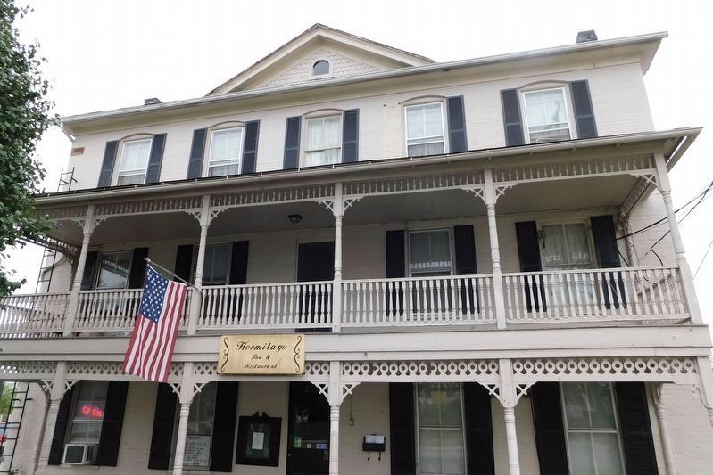
(Sidebar): The oldest part of the Hermitage Inn, in front of you, was constructed in the 1840s for Dr. Jacob Kenny Chambers. During the Civil War, Federal officers occupied the house, which is located close to Fort Mulligan. Since 1881, the building has been in continuous use as a hostelry. The earliest guests arrived by stagecoach from Keyser and Cumberland, Maryland. Later, the inn's carriage met the daily train from Cumberland.
Erected by West Virginia Civil War Trails.
Topics and series. This historical marker is listed in these topic lists: Forts and Castles • War, US Civil. In addition, it is included in the West Virginia Civil War Trails series list. A significant historical month for this entry is January 1863.
Location. This marker has been replaced by another marker nearby. It was located near 38° 59.581′ N, 79° 7.241′ W. Marker was in Petersburg, West Virginia, in Grant County. Marker was at the intersection of Virginia Avenue (U.S. 220) and Pine Street, on the right when traveling east on Virginia Avenue. Touch for map. Marker was at or near this postal address: 115 Virginia Ave, Petersburg WV 26847, United States of America. Touch for directions.
Other nearby markers. At least 8 other markers are within 2 miles of this location, measured as the crow flies. A different marker also named Fort Mulligan (here, next to this marker); The Tannery in Petersburg, WV (within shouting distance of this marker); Maple Hill Cemetery (approx. half a mile away); War in Grant County (approx. 0.6 miles away); Fairfax Line (approx. one mile away); A Strategic Location (approx. 1.1 miles away); a different marker also named Fort Mulligan (approx. 1.1 miles away); Civil War Cannons (approx. 1.1 miles away). Touch for a list and map of all markers in Petersburg.
Related marker. Click here for another marker that is related to this marker. This marker has been replaced with the linked marker.
Credits. This page was last revised on May 14, 2021. It was originally submitted on August 23, 2012, by Don Morfe of Baltimore, Maryland. This page has been viewed 795 times since then and 17 times this year. Last updated on May 13, 2021, by Bradley Owen of Morgantown, West Virginia. Photos: 1. submitted on August 23, 2012, by Don Morfe of Baltimore, Maryland. 2, 3. submitted on October 1, 2020, by Allen C. Browne of Silver Spring, Maryland. 4. submitted on May 13, 2021, by Bradley Owen of Morgantown, West Virginia. • Devry Becker Jones was the editor who published this page.


