5 entries match your criteria.
Related Historical Markers
Sabine Hill State Historic Site
Tennessee State Library and Archives
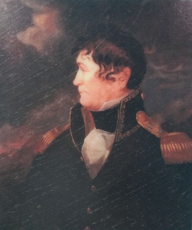
Marker detail: General Nathaniel Taylor
SHOWN IN SOURCE-SPECIFIED ORDER
| Near West G Street (Tennessee Route 67) at U.S. 321, on the left when traveling west. |
| Near West G Street (Tennessee Route 67) 0.1 miles west of Sabine Street, on the left when traveling west. |
| Near West G Street (Tennessee Route 67) 0.1 miles west of Sabine Street, on the left when traveling west. |
| Near West G Street (Tennessee Route 67) 0.1 miles west of Sabine Street, on the left when traveling west. |
| On New Elizabethton Highway (Tennessee Route 67) 0.3 miles north of Buck Van Huss Drive, on the right when traveling north. |
May. 24, 2024