2 entries match your criteria.
Related Historical Markers
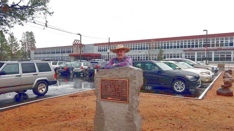
By Carey Pearce, PGP NSGW, November 3, 2017
The Emigrant Trail Monument
SHOWN IN SOURCE-SPECIFIED ORDER
| 1 ► California, Nevada County, Truckee — The Emigrant Trail — |
| The Emigrant Trail in the pioneer days of California came through the low pass to the north, facing this monument. The trail turned west at this point for a distance of twenty-six hundred feet where a tablet describes the route then followed. — — Map (db m176338) HM | |||
| 2 ► California, Nevada County, Truckee — The Emigrant Trail — |
| The Emigrant Trail in the pioneer days of California turned to the south at this point for approximately three miles, then west across the summit of the Sierras about a mile south of the present railroad. It was here that the Donner Party missed . . . — — Map (db m176339) HM | |||