Near Sisseton in Roberts County, South Dakota — The American Midwest (Upper Plains)
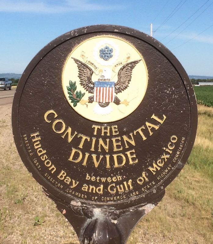
The Continental Divide
between
Hudson Bay and Gulf of Mexico
Erected 1955 by Sisseton Chamber of Commerce and State Highway Commission.
Topics. This historical marker is listed in this topic list: Natural Features.
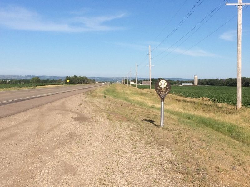
Location. 45° 39.591′ N, 96° 55.247′ W. Marker is near Sisseton, South Dakota, in Roberts County. Marker is on 119th St., 0.3 miles south of 464th Ave., on the right when traveling south. Touch for map. Marker is in this post office area: Sisseton SD 57262, United States of America. Touch for directions.
Other nearby markers. At least 8 other markers are within 7 miles of this marker, measured as the crow flies. Ancient River Warren Channel (approx. 4 miles away); Travare (approx. 4 miles away); Wadsworth Trail (approx. 5˝ miles away in Minnesota); Browns Valley (approx. 5˝ miles away in Minnesota); Samuel Jerome Brown (approx. 5.9 miles away in Minnesota); Sam Brown Log House (approx. 5.9 miles away in Minnesota); Roberts County Veterans Memorial (approx. 6.2 miles away); Stones from Log Flour Mill (approx. 6.2 miles away). Touch for a list and map of all markers in Sisseton.
Related marker. Click here for another marker that is related to this marker. To better understand the relationship, study each marker in the order shown.
Credits. This page was last revised on July 11, 2018. It was originally submitted on January 21, 2017, by Ruth VanSteenwyk of Aberdeen, South Dakota. This page has been viewed 1,072 times since then and 71 times this year. Last updated on July 5, 2018, by Ruth VanSteenwyk of Aberdeen, South Dakota. Photos: 1, 2. submitted on January 21, 2017, by Ruth VanSteenwyk of Aberdeen, South Dakota. • Bill Pfingsten was the editor who published this page.

