Downtown in Sioux Falls in Minnehaha County, South Dakota — The American Midwest (Upper Plains)
Incident at Fort Sod
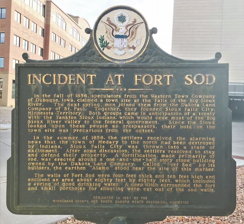
In the summer of 1858, the settlers received the alarming news that the town of Medary to the north had been destroyed by Indians. Sioux Falls City was thrown into a state of excitement. After some discussion, the settlers resolved to stay and defend their property. A fortification, made primarily of sod, was erected around a one-and-one-half story stone building owned by the Dakota Land Company. Called "Fort Sod" by its builders, the earthen "Alamo" stood near the site of this marker.
The walls of Fort Sod were four feet thick and ten feet high and enclosed an area about eighty feet by eighty feet, which included a spring of good drinking water. A deep ditch surrounded the fort and small portholes for shooting were cut out of the sod walls.
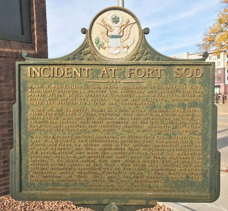
When it was finished, the entire population of Sioux Falls City, with their belongings, entered the sanctuary and waited. The lone woman of the group, Rebecca Goodwin, made a flag from flannel shirts and one of her skirts. In an act of sturdy defiance, the Stars and Stripes flew from the battlements.
One of the besieged, James M. Allen, wrote a letter to his father, dated June 17, 1858. Allen reported that morale was high among the thirty-five men and one woman, who were determined to stay and defend themselves and their property at the risk of their lives. They formed sentries and scouting parties, according to Allen, including Mrs. Goodwin, who could "shoot a gun as well as anyone."
As they feared, Indians appeared at Sioux Falls City. After three days of cautiously and indecisively watching Fort Sod, they left. Not a shot was fired by either side. The settlers' anxieties were not allayed, however, and they maintained their vigilance. After living six weeks within and near the walls of Fort Sod, the makeshift garrison was low on provisions and "poor in flesh and weak in spirits." To their relief, two men with a buggy full of supplies arrived at the gates of the Fort. The siege was broken, and the gallant defenders marched out of Fort Sod, according to Allen, "in battle array, rivaling Falstaff's army." They had survived the incident at Fort Sod and in the uneasy peace followed, continued to build the new settlement.
Erected 1997 by Minnehaha County and South Dakota States Historical Societies. (Marker Number 679.)
Topics and series. This historical marker is listed in these topic lists: Settlements & Settlers • Wars, US Indian. In addition, it is included in the South Dakota State Historical Society Markers series list. A significant historical year for this entry is 1858.
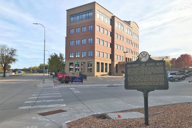
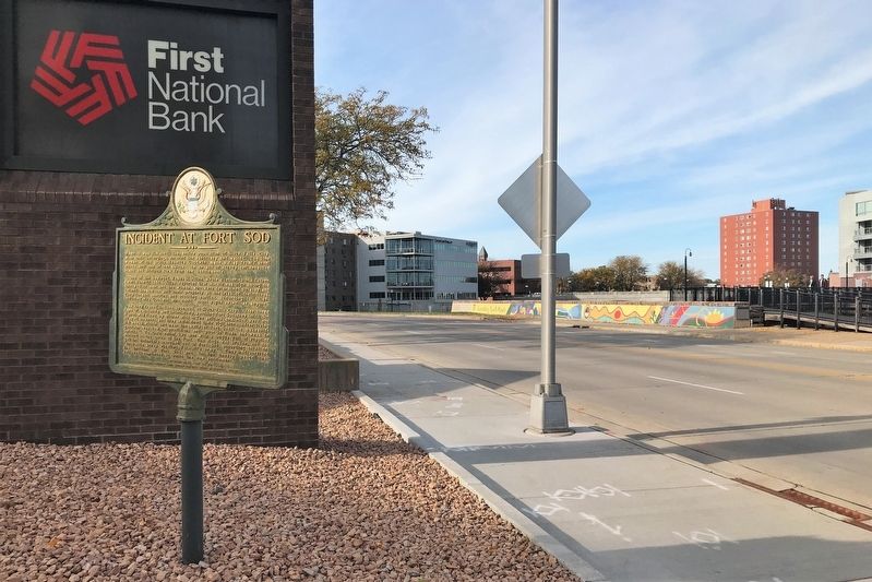
Location. 43° 32.809′ N, 96° 43.501′ W. Marker is in Sioux Falls, South Dakota, in Minnehaha County. It is in Downtown. Marker is at the intersection of Mall Avenue and East 9th Street, on the right when traveling west on Mall Avenue. Touch for map. Marker is at or near this postal address: 111 E 9th St, Sioux Falls SD 57104, United States of America. Touch for directions.
Other nearby markers. At least 8 other markers are within walking distance of this marker. Fort Sod (within shouting distance of this marker); First Industrial Park (within shouting distance of this marker); Historic River Crossing (within shouting distance of this marker); Rock Island Railroad Bridge (within shouting distance of this marker); The Dakota Land Company (within shouting distance of this marker); The "Squatter" Government at Sioux Falls City (within shouting distance of this marker); The Donahoe Clinic (about 300 feet away, measured in a direct line); Site of Fort Sod (about 400 feet away). Touch for a list and map of all markers in Sioux Falls.
Credits. This page was last revised on February 16, 2023. It was originally submitted on October 27, 2021. This page has been viewed 169 times since then and 15 times this year. Photos: 1, 2, 3, 4. submitted on October 27, 2021. • J. Makali Bruton was the editor who published this page.


