Middlesboro in Bell County, Kentucky — The American South (East South Central)
Dirt-and-Log Forts
Cumberland Gap National Historical Park
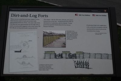
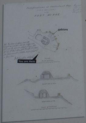
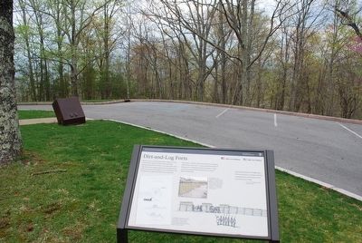
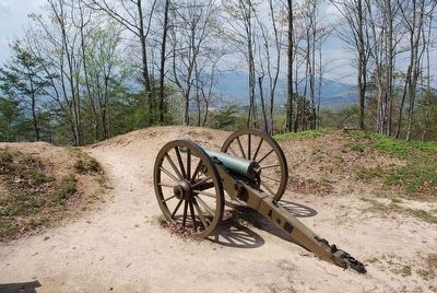
Where you see a picnic ground today, imagine a seven-sided structure made of earth and wooden walls, approximately 40 feet by 70 feet. The outer walls of this Civil War fort were approximately five feet high with an earth-covered powder magazine in the center, and a 750-foot rifle pit curving underneath to protect the fort.
This outpost - like the other forts, rifle pits, and cannon batteries here in the Gap - was garrisoned from 1861-65 alternately by Confederates, then by Federals. Troops posted here guarded Harlan Road, the best way up Pinnacle Mountain.
(Cumberland Gap) is the roughest place in the world, but we are going to stick the mountain full of cannon to prevent the Lincolnites from crossing.
- Letter of Confederate soldier, November 1861
(captions)
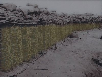
(center) Fort McRae's outer earthworks were built with gabions - rounded wicker baskets filled with earth and rocks, similar to this photo (left) taken at Petersburg, Virginia - to reinforce its outer defenses.
(lower left) Confederates called this outpost Fort Mallory. Union soldiers renamed in Fort McRae after Union Captain Alexander McRae killed in battle in 1862.
Erected by National Park Service.
Topics. This historical marker is listed in this topic list: War, US Civil . A significant historical month for this entry is November 1861.
Location. This marker has been replaced by another marker nearby. It was located near 36° 36.579′ N, 83° 40.283′ W. Marker was in Middlesboro, Kentucky, in Bell County. Marker was on Pinnacle View Road, 1.7 miles east of Kentucky Route 988. Touch for map. Marker was in this post office area: Middlesboro KY 40965, United States of America. Touch for directions.
Other nearby markers. At least 8 other markers are within walking distance of this location. A different marker also named Dirt-and-Log Forts (here, next to this marker); Two Armies, One Railroad (approx. 0.2 miles away); Forts and Batteries, North and South (approx. 0.2 miles away); Pinnacle Overlook (approx. 0.3 miles away); Gateway to Kaintuck (approx. 0.3 miles away); Boundaries Settled (approx. 0.3 miles away in Virginia); a different marker also named Gateway to Kaintuck (approx. 0.3 miles away); a different marker also named Pinnacle Overlook (approx. 0.3 miles away). Touch for a list and map of all markers in Middlesboro.
Related marker. Click here for another marker that is related to this marker. New Marker At This Location also titled "Dirt-and-Log Forts"
Also see . . . Cumberland Gap National Historical Park. National Park Service (Submitted on September 15, 2015.)
Credits. This page was last revised on August 30, 2022. It was originally submitted on September 14, 2015, by Brandon Fletcher of Chattanooga, Tennessee. This page has been viewed 545 times since then and 17 times this year. Photos: 1, 2, 3, 4, 5, 6. submitted on September 14, 2015, by Brandon Fletcher of Chattanooga, Tennessee. • Bernard Fisher was the editor who published this page.
