Near Sharpsburg in Washington County, Maryland — The American Northeast (Mid-Atlantic)
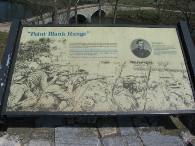
"Point Blank Range"
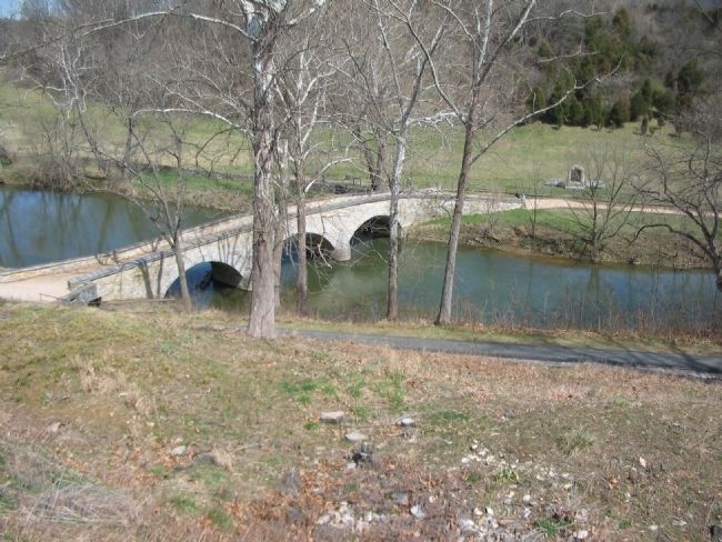
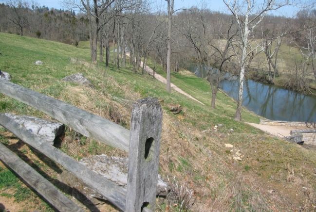
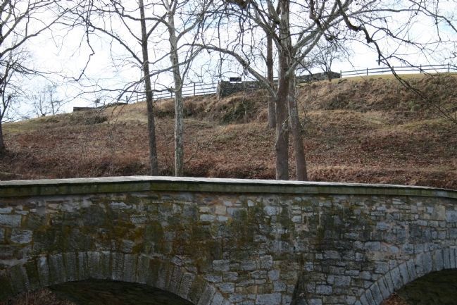
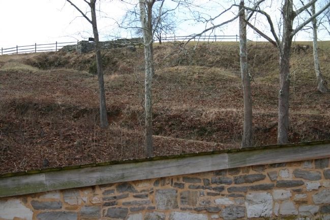
"From the crest to bridge the slope was a cleared field, commanded at point blank range by the opposite banks. As the regiment charged across, it was subjected to a close, continued and deadly fire."
The Georgians' rifle pits can still be seen just below this spot.
By 1 p.m. Union soldiers had captured the bridge and were crossing at the downstream ford. Toombs, the Georgians' commanding officer, wrote:
"Not being able to get any re-enforcements for the defense of the fords, I deemed it my duty to withdraw my command."
Topics. This historical marker is listed in this topic list: War, US Civil.
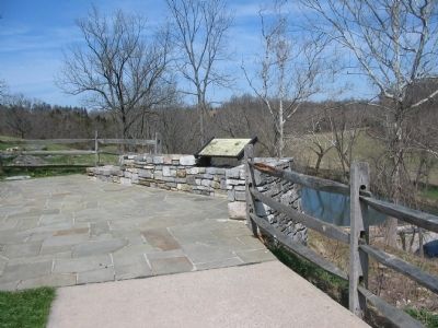
Location. This marker has been replaced by another marker nearby. 39° 26.997′ N, 77° 43.935′ W. Marker is near Sharpsburg, Maryland, in Washington County. Marker is on Old Burnside Bridge Road, on the right when traveling north. Located along a foot trail to Burnside Bridge at stop nine of the driving tour of Antietam Battlefield. Touch for map. Marker is in this post office area: Sharpsburg MD 21782, United States of America. Touch for directions.
Other nearby markers. At least 8 other markers are within walking distance of this location. Repulsed Again and Again (here, next to this marker); A Crucial Crossing, a General’s Namesake, a Battlefield Icon (here, next to this marker); C.S.A. (within shouting distance of this marker); The Burnside Bridge (within shouting distance of this marker); Witness to History (about 300 feet away, measured in a direct line); We Showered the Lead Across that Creek (about 300 feet away); "Will You Give Us Our Whiskey?" (about 300 feet away); 51st Pennsylvania Volunteer Infantry (about 300 feet away). Touch for a list and map of all markers in Sharpsburg.
More about this marker. The background of the marker is a depiction of the Georgia troops defending the bridge. A portrait of Brigadier General Robert Toombs, C.S.A. is in the upper right.
Regarding "Point Blank Range". This marker was replaced by another named Repulsed Again and Again (See nearby markers).
Also see . . . Antietam Battlefield. National Park Service site. (Submitted on April 1, 2008, by Craig Swain of Leesburg, Virginia.)
Credits. This page was last revised on August 16, 2017. It was originally submitted on April 1, 2008, by Craig Swain of Leesburg, Virginia. This page has been viewed 1,701 times since then and 17 times this year. Photos: 1, 2, 3, 4. submitted on April 1, 2008, by Craig Swain of Leesburg, Virginia. 5, 6. submitted on April 28, 2008, by Dennis M. Sheron of Hudson, Indiana.
