2 entries match your criteria.
Related Historical Markers
By Cosmos Mariner, August 20, 2022
Santa Fe Trail Marker
SHOWN IN SOURCE-SPECIFIED ORDER
| 1 ► Kansas, Edwards County, Offerle — 61 — Santa Fe Trail — 1822-1872 — |
| [title is marker text] — — Map (db m213912) HM | |||
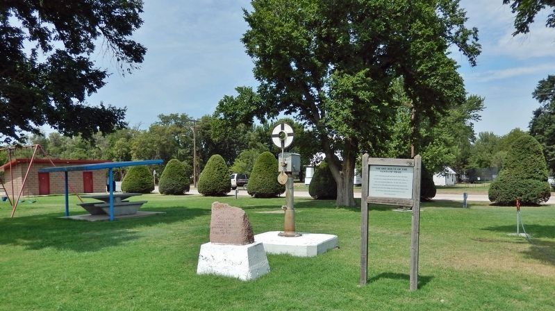
| 2 ► Kansas, Edwards County, Offerle — The Dry Route of the Santa Fe Trail — |
| North of this point one mile, the Santa Fe Trail’s Dry Route ran southwest to merge with the Wet Route at the Caches, two miles west of present Dodge City. At a later date, the Dry Route ran one mile south of this point to merge with the Wet Route . . . — — Map (db m213913) HM | |||