3 entries match your criteria.
Related Historical Markers
To better understand the relationship, study each marker shown.
By Anna Inbody, January 8, 2012
Overview
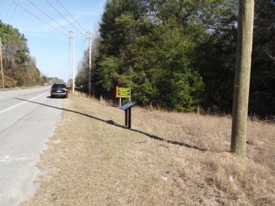
SHOWN IN SOURCE-SPECIFIED ORDER
| | Assigned to hold all of eastern South Carolina but with only a small force at his disposal, Col. John Watson needed to build a fort to protect the vital transportation corridor between Charleston and Camden, the British inland headquarters. The spot . . . — — Map (db m51477) HM |
| | On the night of November 7, 1780, Lt. Colonel Banastre Tarleton and his Green Dragoons—together with Harrison’s Provincials, a large unit of Tories from the area between the upper Santee and Wateree Rivers—camped at the plantation of the late . . . — — Map (db m51985) HM |
| | In March 1781, Lord Francis Hastings Rawdon, the British commanding officer in Charleston, designed a two-pronged assault against the forces of General Francis Marion. From Camden, Col. Welbore Ellis Doyle and the Volunteers of Ireland moved east . . . — — Map (db m51986) HM |
May. 7, 2024