3 entries match your criteria.
Related Historical Markers
By Mark Hilton, October 5, 2019
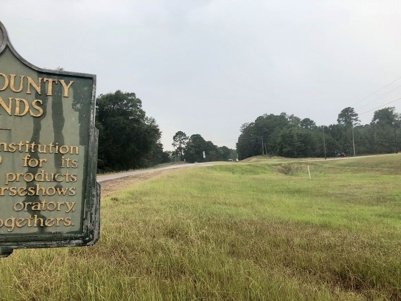
Direction from Neshoba County Fairgrounds Marker towards fairgrounds.
SHOWN IN SOURCE-SPECIFIED ORDER
| On Mississippi Route 21 west of Highway 15, on the right when traveling west. |
| | 5 mi. S.W., an institution famed since 1890 for its exhibits of farm products and livestock. horseshows and races, political oratory, and social get-togethers. — — Map (db m140929) HM |
| On Mississippi Route 21 at County Road 147, on the right when traveling north on State Route 21. |
| | Est. in 1889, the Neshoba County Fair fosters political, agricultural, educational, and social exchanges of knowledge and ideas. Home of the state's only licensed horse track since 1922 and the nation's largest campground fair, the Fair is . . . — — Map (db m140932) HM |
| Near Mississippi Route 21 at County Route 147. |
| | This Pavilion was constructed in 1914 as a shelter for gatherings and a venue for entertainment and public speaking; it continues to serve these purposes for the Fair as well as provide a location for selected events in the off season. Entertainment . . . — — Map (db m140940) HM |
May. 19, 2024