2 entries match your criteria.
Related Historical Markers
By Cosmos Mariner, August 14, 2023
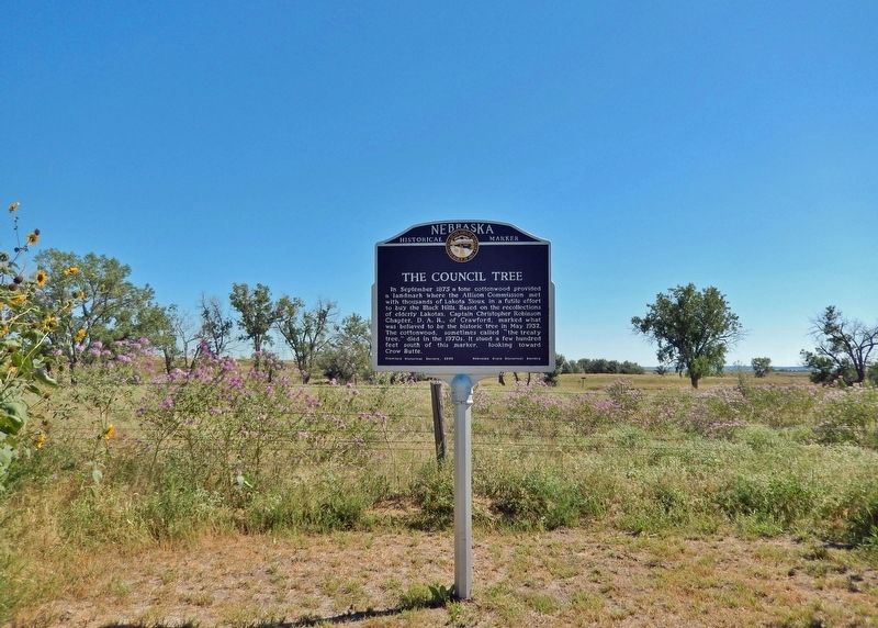
The Council Tree Marker
SHOWN IN SOURCE-SPECIFIED ORDER
| 1 ► Nebraska, Dawes County, Whitney — 437 — The Council Tree — |
| In September 1875 a lone cottonwood provided a landmark where the Allison Commission met with thousands of Lakota Sioux in a futile effort to buy the Black Hills. Based on the recollections of elderly Lakotas, Captain Christopher Robinson Chapter, . . . — — Map (db m235900) HM | |||
| 2 ► Nebraska, Dawes County, Whitney — Grand Council Site — |
| On this vast plain between Crow Butte and the White River, a Grand Council was held on September 20th, 1875. By the Treaty of 1868, the Government acknowledged the Black Hills and other lands in Dakota Territory belonged to the Lakota Indians. . . . — — Map (db m235897) HM | |||