Near Whitney in Dawes County, Nebraska — The American Midwest (Upper Plains)
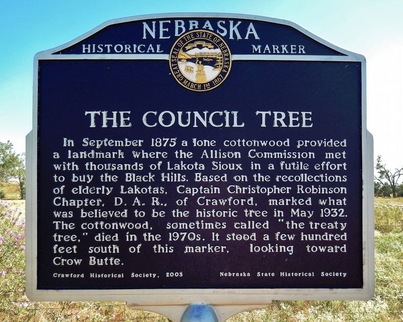
The Council Tree
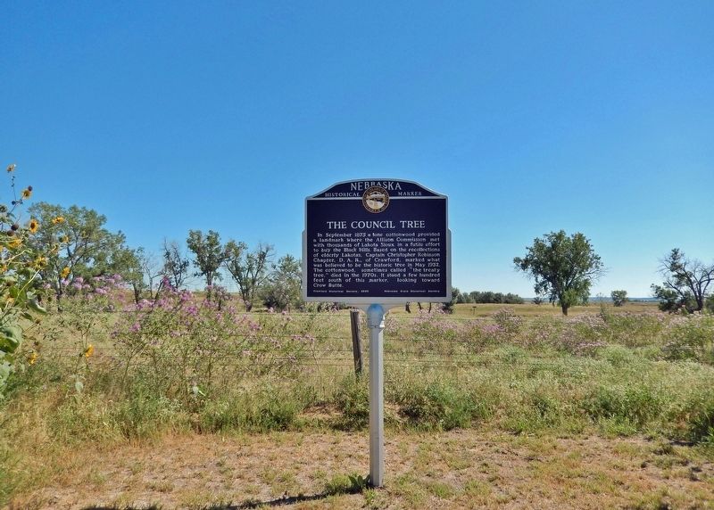
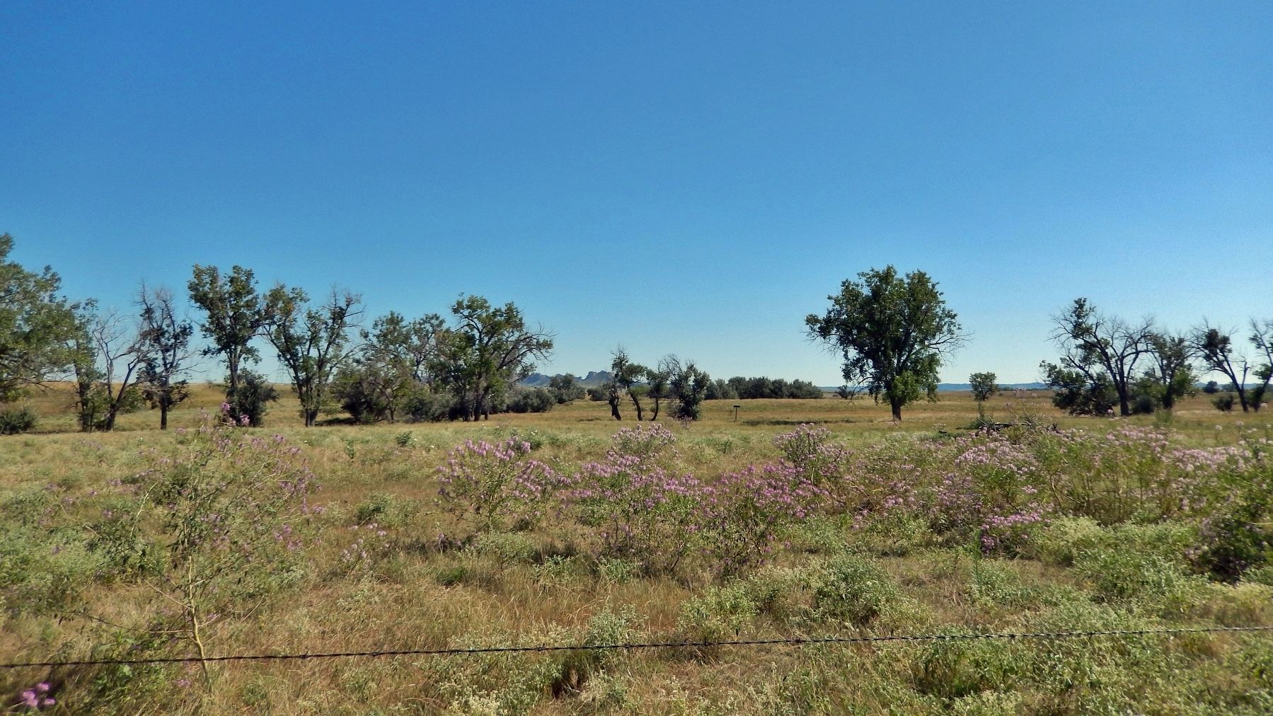
In September 1875 a lone cottonwood provided a landmark where the Allison Commission met with thousands of Lakota Sioux in a futile effort to buy the Black Hills. Based on the recollections of elderly Lakotas, Captain Christopher Robinson Chapter, D.A.R., of Crawford, marked what was believed to be the historic tree in May 1932. The cottonwood, sometimes called “the treaty tree,” died in the 1970s. It stood a few hundred feet south of this marker, looking toward Crow Butte.
Erected 2003 by Crawford Historical Society; Nebraska State Historical Society. (Marker Number 437.)
Topics and series. This historical marker is listed in these topic lists: Native Americans • Wars, US Indian. In addition, it is included in the Historic Trees, and the Nebraska State Historical Society series lists. A significant historical month for this entry is September 1875.
Location. 42° 44.251′ N, 103° 20.277′ W. Marker is near Whitney, Nebraska, in Dawes County. Marker is on Old U.S. 20, 0.6 miles west of Whitney Lake Road, on the left when traveling west. The marker is located near a pull-out on the south side of Old US 20. Touch for map. Marker is in this post office area: Crawford NE 69339, United States of America. Touch for directions.
Other nearby markers. At least 8 other markers are within 7 miles of this marker, measured as the crow flies. Grand Council Site (about 700 feet away, measured in a direct line); Butte Country (approx. 1.2 miles away); The Death of Baptiste Garnier (approx. 5.2 miles away); Crawford 1891 School Bell (approx. 5.3 miles away); Crawford (approx. 5.3 miles away); Moses P. Kinkaid (approx. 5.3 miles away); Crossing of the Trails (approx. 5.4 miles away); Site of Red Cloud Indian Agency (approx. 6.8 miles away). Touch for a list and map of all markers in Whitney.
Related markers. Click here for a list of markers that are related to this marker.
Also see . . .
1. The Plains Indians Agreed in the End: The Black Hills Would Not Be Sold. Excerpt:
The mounted Plains Indians thundered over the brow of the hill and down toward the banks of the White River where white commissioners huddled beneath the canopy of a tent pitched near a lone cottonwood. It was just before noon on September 20, 1875, opening day of the grand council in northwestern Nebraska to discuss the future of the Black Hills, sacred to these Indians. The Sioux, Northern Cheyennes and Arapahos had donned their finest garments, painted their faces and adorned their hair with feathers...(Submitted on November 10, 2023, by Cosmos Mariner of Cape Canaveral, Florida.)
2. Nebraska's Heritage Trees. Excerpt:
In 1875 President Grant appointed the Allison Commission, chaired by Senator Allison of Iowa, to encourage all Sioux Indian chiefs and elders to attend a Council under the cottonwood tree on Chadron Creek for the purpose of relinquishing their rights to the Black Hills area. "Treaty Tree" has also been given as a name to this tree but, in fact, no treaty was ever agreed on. After several days of meetings between the commission and the Indians, the conference ended with all returning to their homes.(Submitted on November 10, 2023, by Cosmos Mariner of Cape Canaveral, Florida.)
Credits. This page was last revised on November 10, 2023. It was originally submitted on November 9, 2023, by Cosmos Mariner of Cape Canaveral, Florida. This page has been viewed 68 times since then and 25 times this year. Photos: 1, 2, 3. submitted on November 10, 2023, by Cosmos Mariner of Cape Canaveral, Florida.


