8 entries match your criteria.
Related Historical Markers
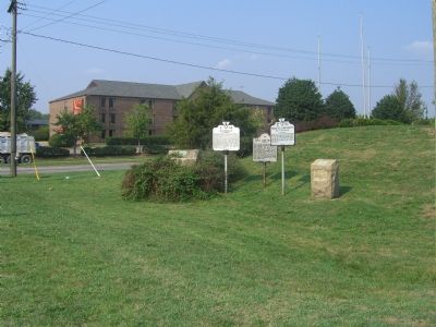
Markers that include pictures of Jefferson Davis Highway dedication stones.
By Kevin White, September 6, 2007
Occoquan Marker
SHOWN IN SOURCE-SPECIFIED ORDER
| On Jefferson Davis Highway (U.S. 1) at Annapolis Way, on the right when traveling south on Jefferson Davis Highway. Reported permanently removed. |
| On Jefferson Davis Highway near Pembroke-Fairview Road (Route 115), on the right when traveling east. |
| On Jefferson Davis Highway (U.S. 1) 0.3 miles south of Oxford Road, on the right when traveling south. |
| On 5th St/Button Gwinnett Street (U.S. 1 / 78). |
| On Irwinville Highway (Georgia Route 32) at Jeff Davis Park Road, on the right when traveling west on Irwinville Highway. |
| On Broad Street (U.S. 278) at Monument Street, on the right when traveling west on Broad Street. |
| On Jefferson Davis Highway (U.S. 1) at Harwood Street, on the right when traveling north on Jefferson Davis Highway. |
| On Fort Tejon Road west of Interstate 5. |
May. 19, 2024