2 entries match your criteria.
Related Historical Markers
To better understand the relationship, study each marker shown.
By Paul Crumlish, May 8, 2010
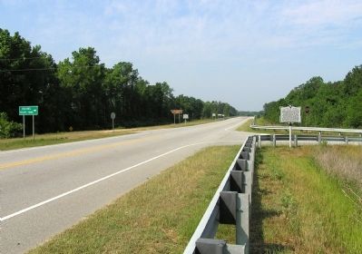
Wide view of the Abel Kolb's Murder / Welsh Neck Cemetery Marker
SHOWN IN SOURCE-SPECIFIED ORDER
| On U.S. 15 at Kolb's Tomb Road/River Landing Road (County Route 167) when traveling south on U.S. 15. |
| | Marker Front: Colonel Abel Kolb was a prominent Revolutionary War Patriot of this area. A band of Tory raiders, on the night of April 27-28, 1781, surrounded the home of Colonel Kolb and his family. He was shot while surrendering himself as a . . . — — Map (db m31745) HM |
| On North Main Street (U.S. 15) at Long Bluff Road, on the right when traveling north on North Main Street. |
| | Marker Front: Long Bluff, 3/4 mile east on Great Pedee River, was the site of the first courthouse and jail for old Cheraws District in 1772. The town was known as Greeneville after the Revolution and remained the seat of justice until the . . . — — Map (db m31778) HM |
Apr. 28, 2024