3 entries match your criteria.
Related Historical Markers
To better understand the relationship, study each marker in the order shown.
By Paul F, September 20, 2009
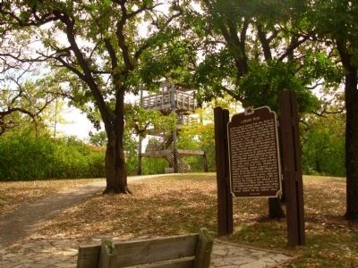
Lapham Peak Marker at base of lookout tower
SHOWN IN SOURCE-SPECIFIED ORDER
| | In 1870, on top of Lapham Peak, then known as Government Hill, the United State Army signal Corps established one of its original National Weather Service signal stations. Weather data was received here from Pikes Peak, Colorado, and relayed to the . . . — — Map (db m32097) HM |
| | On September 14, 1848, Mrs. William L. Parsons, the wife of a Congregational minister, opened the Milwaukee Female Seminary at the corner of Milwaukee and East Wells. Three years later it was chartered by the Legislature, thus placing Wisconsin in . . . — — Map (db m32667) HM |
| | Carroll College, chartered by the Territorial Legislature in January 31, 1846, is Wisconsin’s oldest college. Named for Charles Carroll, a signer of the Declaration of Independence, it advanced the work of Prairieville Academy, founded in 1841 in . . . — — Map (db m34579) HM |
May. 4, 2024