Richmond in Henrico County, Virginia — The American South (Mid-Atlantic)
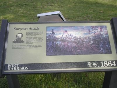
Surprise Attack
Fort Harrison – 1864
Although the Federals are able to overrun Fort Harrison, General Hiram Burnham, commanding the lead brigade is killed. His troops rename the captured earthworks Fort Burnham.
The fall of Fort Harrison on September 29, 1864, forces Lee to bring in more troops and build new entrenchments to stitch up Richmond’s weakened line of defense.
Erected by Richmond National Battlefield Park - National Park Service.
Topics. This historical marker is listed in this topic list: War, US Civil. A significant historical month for this entry is September 1865.
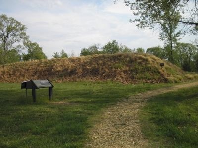
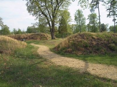
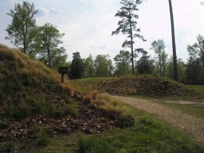
Location. This marker has been replaced by another marker nearby. It was located near 37° 25.608′ N, 77° 22.343′ W. Marker was in Richmond, Virginia, in Henrico County. Marker could be reached from Battlefield Park Road, Richmond, on the left when traveling south. Marker is located on the walking trail of Fort Harrison in the Fort Harrison Unit of the Richmond National Battlefield Park. Touch for map. Marker was in this post office area: Henrico VA 23231, United States of America. Touch for directions.
Other nearby markers. At least 8 other markers are within walking distance of this location. A different marker also named Surprise Attack (here, next to this marker); Grant Under Fire (within shouting distance of this marker); "The Big Guns Spoke" (within shouting distance of this marker); A Unique Photograph (about 300 feet away, measured in a direct line); Counterattack (about 300 feet away); Confederate Counterattack (about 300 feet away); The Killing Fields (about 300 feet away); Bombproof (about 300 feet away).
More about this marker. The right of the marker features a painting of the Union assault on Fort Harrison. The left of the marker contains a photograph of General Hiram Burnham, for whom the captured fort was renamed.
Related marker. Click here for another marker that is related to this marker. New Marker At This Location also titled "Surprise Attack".
Also see . . .
1. Battlefield Tour - Ft Gilmer to Ft Brady. Richmond National Battlefield Park website. (Submitted on January 6, 2009, by Bill Coughlin of Woodland Park, New Jersey.)
2. Fort Harrison. Richmond Battlefields Association (Submitted on January 6, 2009, by Bill Coughlin of Woodland Park, New Jersey.)
Credits. This page was last revised on November 5, 2021. It was originally submitted on January 6, 2009, by Bill Coughlin of Woodland Park, New Jersey. This page has been viewed 1,000 times since then and 36 times this year. Photos: 1, 2, 3, 4, 5. submitted on January 6, 2009, by Bill Coughlin of Woodland Park, New Jersey.
