2 entries match your criteria.
Related Historical Markers
To better understand the relationship, study the markers shown.
By Paul Crumlish, June 5, 2011
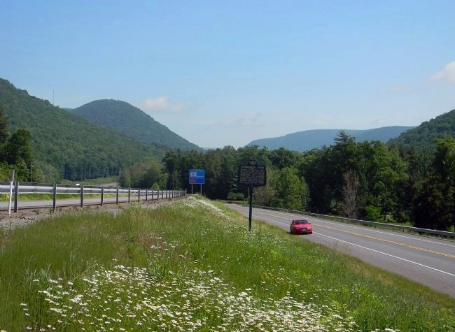
Wide view of the Sheshequin Path Marker
SHOWN IN SOURCE-SPECIFIED ORDER
| On Lycoming Creek Road south of Mill Street. |
| | Branch of Warriors Path; provided a short cut from Tioga to the Big Island, traversing “the dismal wilderness” of Lycoming Creek. Dense forest, swamp, windfall, and storm made Indians believe a demon had power in this valley. — — Map (db m43523) HM |
| On Pennsylvania Route 14, 0.3 miles south of Narrow Mountain Road, on the right when traveling south. |
| | By this path up Lycoming Creek, Conrad Weiser, with Lewis Evans, map-maker, and John Bartram, botanist, traveled to Onondaga in 1743 on a peace mission for Virginia: “To take the hatchet out of the head of the Six Nations.” — — Map (db m43549) HM |
Apr. 30, 2024