5 entries match your criteria.
Related Historical Markers
(other Civilian Conservation Corps Camp markers)
By William J. Toman, August 7, 2010
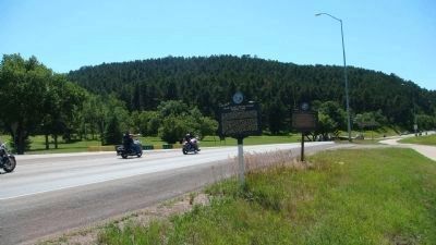
Civilian Conservation Corps Camps Marker
SHOWN IN SOURCE-SPECIFIED ORDER
| On South Dakota Route 34 at Custer Avenue, on the left when traveling east on State Route 34. |
| On U.S. 385 at Roubaix Lake Road, on the right when traveling south on U.S. 385. |
| On U.S. 385, 0.1 miles north of Custer Gulch Road, on the right when traveling south. |
| On U.S. 385 at Horse Creek Road, on the right when traveling south on U.S. 385. |
| On Mt. Rushmore Road (U.S. 16) at Lightning Creek Road (Forest Road 288), on the right when traveling west on Mt. Rushmore Road. |
May. 15, 2024