3 entries match your criteria.
Related Historical Markers
By J. J. Prats, May 28, 2011
Burke’s Garden Marker
SHOWN IN SOURCE-SPECIFIED ORDER
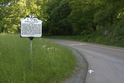
| 1 ► Virginia, Tazewell County, Burkes Garden — X-12-a — Burke’s Garden — |
| On Burkes Garden Road (County Route 623) at Back Road (Route 666), on the left when traveling south on Burkes Garden Road. | |||
| 2 ► Virginia, Tazewell County, Burkes Garden — XL-5 — Site of James Burke’s Garden — |
| On Burkes Garden Road (County Route 623) just north of Mapleton Road. | |||
| 3 ► Virginia, Tazewell County, Tazewell — XY-12 — Burke’s Garden — |
| On Gratton Road (Virginia Route 61) 1.3 miles east of the Tazewell corporate limits, on the right when traveling east. | |||