Burkes Garden in Tazewell County, Virginia — The American South (Mid-Atlantic)
Burke’s Garden
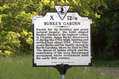
Known for its fertility and great natural beauty, the bowl shaped Burke’s Garden is the highest valley in Virginia. James Burke discovered it during the 1740s while hunting and settled here about 1754. After four years Burke and his family moved to North Carolina, where he died in 1783. The threat of Indian attack and the remoteness of the area discouraged permanent white settlement until the early 19th century.
Erected 1993 by Department of Historic Resources. (Marker Number X-12-a.)
Topics and series. This historical marker is listed in these topic lists: Natural Features • Settlements & Settlers. In addition, it is included in the Virginia Department of Historic Resources (DHR) series list. A significant historical year for this entry is 1754.
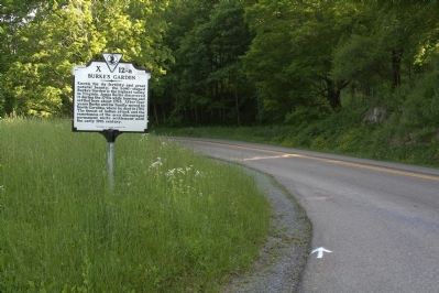
Location. 37° 7.5′ N, 81° 21.417′ W. Marker is in Burkes Garden, Virginia, in Tazewell County. Marker is at the intersection of Burkes Garden Road (County Route 623) and Back Road (Route 666), on the left when traveling south on Burkes Garden Road. This crossroads is known as Gose Mill. Burkes Garden Road starts at State Route 61 and crosses Rich and Garden Mountains from the north. Touch for map. Marker is in this post office area: Burkes Garden VA 24608, United States of America. Touch for directions.
Other nearby markers. At least 8 other markers are within 9 miles of this marker, measured as the crow flies . Site of James Burke’s Garden (approx. 1˝ miles away); Shawver Mill (approx. 2 miles away); a different marker also named Burke’s Garden (approx. 6 miles away); Molly Tynes’s Ride (approx. 6 miles away); First Court for Tazewell County (approx. 7.3 miles away); Henry C. Groseclose (approx. 7.4 miles away); William Wynne’s Fort (approx. 7.6 miles away); Maple Hill Cemetery, African American Section (approx. 8.9 miles away).
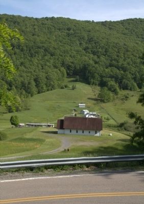
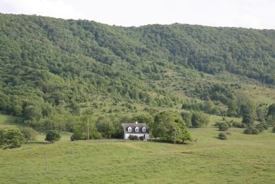
More about this marker. Marker is in Burke’s Garden valley at the foot of Garden Mountain on the only paved road into the valley.
This 1993 marker replaced a previous marker at this location with the same title and number, listed in Margaret Peters’ 1985 edition of A Guidebook to Virginia’s Historical Markers. We have not found the date when it was erected, but the previous guidebook, issued in 1948, did not list it. That marker read,
Burke’s Garden was first settled about 1754 by James Burke who had been hunting in the area during the previous decade. Burke lived here until 1774 when he and his wife were killed by Indians. Two years later a fort was erected here as a defense from the Indians. The area around Burke’s Garden is known for its great natural beauty.The present marker corrects the tale of Burke’s death.
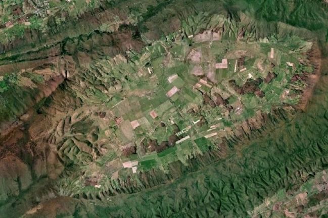
Regarding Burke’s Garden. At 3100 feet above sea level, the valley is maybe 9 miles long east to west by 4 or 5 miles wide north to south, completely ringed by Garden Mountain. There are maybe 250 households living in the valley. Route 623 runs through the valley north to south between State Routes 61 and 42. The northern mountain crossing is paved and crosses Rich Mountain first, without the benefit of a gap, and continues descending through the immediately adjacent Garden Mountain gap and into the valley. The southern crossing is not paved. The southern crossing crosses both Garden Mountain and Brushy Mountain before reaching Route 42.
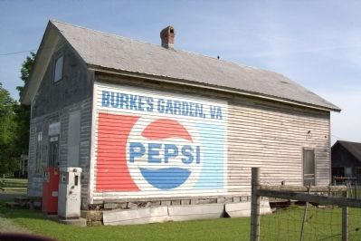
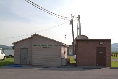
There is an elementary school and one small grocery and convenience store in the valley. The old combination post office, general store and gasoline station is shuttered and weathering. The nearest large town is Tazewell, the county seat, 14 miles north and west. The valley is served by its own independent telephone and Internet access company, Burke’s Garden Telephone Company, established in 1899. Subscribers dial 4 digits to call each other.
Burkes Garden, VA, retains its own zip code, but no longer has a post office. This zip code is now served from Tazewell.
The Appalachian National Scenic Trail follows the southern rim of Garden Mountain on its run between Georgia and Maine.
Related markers. Click here for a list of markers that are related to this marker.
Also see . . .
1. Burke’s Garden, Virginia. Wikipedia entry. “The oval, bowl-like valley (or ‘cove’) is known for its fertile land and was once the bed of an ancient sea. About 8.5 miles long and 4 miles wide, it resembles a large volcanic crater in satellite photographs and on topographic maps; however, it was actually formed when underground limestone caverns collapsed.” (Submitted on July 17, 2011.)
2. The Place In Virginia That Makes You Feel Like You’ve Stepped Through A Magical Wardrobe. Only In Your State website entry (Submitted on February 22, 2022, by Larry Gertner of New York, New York.)
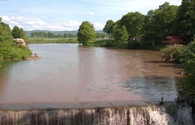
Photographed By J. J. Prats, May 28, 2011
7. Gose Mill Dam and Millpond on Burkes Garden Creek
This view is a few steps from the marker. Burke’s Garden Valley opens up in the distance with the southern ridge of Garden Mountain at the horizon. Gose Mill is no longer standing. Burkes Garden Creek drains the valley, taking the pass through Garden Mountain to the north.
Credits. This page was last revised on March 5, 2022. It was originally submitted on July 17, 2011, by J. J. Prats of Powell, Ohio. This page has been viewed 2,765 times since then and 237 times this year. It was the Marker of the Week July 31, 2011. Photos: 1, 2, 3, 4, 5, 6, 7, 8, 9. submitted on July 17, 2011, by J. J. Prats of Powell, Ohio.
