Marker Logo HMdb.org THE HISTORICAL
MARKER DATABASE
“Bite-Size Bits of Local, National, and Global History”


3 entries match your criteria.  


Related Historical Markers

To better understand the relationship, study each marker in the order shown.
 
Fort Claiborne Marker (East View) image, Touch for more information
By TRCP Alliance, September 25, 2011
Fort Claiborne Marker (East View)
SHOWN IN SOURCE-SPECIFIED ORDER
1 Alabama, Monroe County, Perdue Hill — Fort ClaiborneCreek Indian War 1813-1814
On U.S. 84 at Grain Elevator Road and Lena Landegger Highway, on the left when traveling west on U.S. 84.
2 Alabama, Monroe County, Perdue Hill — Claiborne
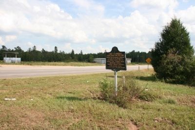
On U.S. 84 at Old Fort Claiborne Road, on the right when traveling west on U.S. 84.
3 Alabama, Monroe County, Perdue Hill — Masonic Lodge No. 3
On U.S. 84 at Dales Ferry Road (County Road 1), on the left when traveling west on U.S. 84.


CeraNet Cloud Computing sponsors the Historical Marker Database.
This website earns income from purchases you make after using our links to Amazon.com. We appreciate your support.
Paid Advertisement
May. 18, 2024