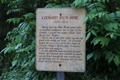
Leonard Iron Mine
1696 - 1802
The ore dug at this site called bog iron, was found in the swamp and brook. The Leonards hauled the ore off in ox carts to their forge at Chartly village in Norton where it was rendered into iron products.
In 1720, when the town relocated Tremont Street, the Leonards were allowed to remove any ore found beneath the new road as long as the bridge and its causeway over the mine brook were not damaged.
Erected by Rehoboth Historical Commission.
Topics. This historical marker is listed in these topic lists: Colonial Era • Industry & Commerce • Settlements & Settlers. A significant historical year for this entry is 1696.
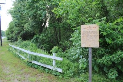
Location. 41° 54.138′ N, 71° 15.445′ W. Marker is in Rehoboth, Massachusetts, in Bristol County. Marker is on Tremont St, on the right when traveling west. Touch for map. Marker is in this post office area: Rehoboth MA 02769, United States of America. Touch for directions.
Other nearby markers. At least 8 other markers are within 3 miles of this marker, measured as the crow flies. Cole-Perry Turning Mill (approx. one mile away); Indian Oven Rock (approx. 1.7 miles away); LaSalette Seminary (approx. 1.9 miles away); Solomon Family Burial Ground (approx.
Credits. This page was last revised on June 16, 2016. It was originally submitted on May 26, 2012, by Bryan Simmons of Attleboro, Massachusetts. This page has been viewed 921 times since then and 25 times this year. Photos: 1, 2. submitted on May 26, 2012, by Bryan Simmons of Attleboro, Massachusetts. • Bill Pfingsten was the editor who published this page.

