2 entries match your criteria.
Related Historical Markers
Markers related to Ft. Davis
By Richard Denney, September 10, 2012
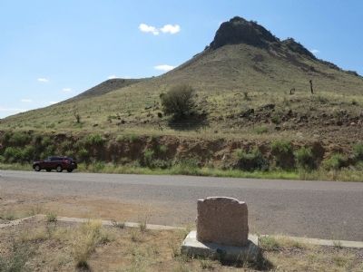
Wild Rose Pass Marker in context
SHOWN IN SOURCE-SPECIFIED ORDER
| On Wild Rose Pass (State Highway 17) 1.3 miles south of Powell Ranch Road, on the left when traveling south. |
| | In early days the Indian trail through these mountains followed the gorge below known as Limpia Canyon. To avoid the floods travelers over the San Antonio - El Paso Road, emigrants, U.S. troops and supply trains, and the mail chose this higher pass . . . — — Map (db m239563) HM |
| Near Lt. Henry Flipper Drive. |
| | Established by Lieut. Col. Washington Seawell with six companies of the Eighth U.S. Infantry in October 1854 for protecting travelers on the San Antonio-El Paso Road.
Named in honor of the then Secretary of War, Jefferson Davis, it was . . . — — Map (db m26357) HM |
May. 1, 2024