4 entries match your criteria.
Related Historical Markers
What Was the Northern most "Battle" of the Civil War?

By Michael Dann Hayes
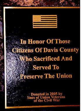
Plaque on the Left of the Main Plaque
SHOWN IN SOURCE-SPECIFIED ORDER
| On South West Street, 0.3 miles south of Karr Avenue, on the left when traveling south. |
| | Site of
The Confederate Invasion of Iowa
12th Day of October 1864.
This monument marks the northern most point of incursion into Iowa by Confederate Forces. On October 12, 1864, Lieutenant James “Bill” Jackson led twelve heavily . . . — — Map (db m36092) HM WM |
| On Salineville Road NE (Ohio Route 39) east of Oasis Road NE, on the right when traveling west. |
| | Here on July 26, 1863 occurred the northernmost engagement of Confederate forces during the Civil War. In this immediate area, troops under Major General John H. Morgan, C.S.A., and General James Shackelford, U.S.A., met in full engagement. After . . . — — Map (db m243) HM |
| On South Main Street (U.S. 7) north of Fairfield Street (Vermont Route 36), on the right when traveling north. |
| | The Civil War entered Vermont, October 19, 1864, when 22 Confederates spread terror from the north, robbed three banks and shot up the town. Stealing horses, they fled back into Canada. There, after trial, they were freed and the banks partially . . . — — Map (db m61958) HM |
| On Bridge Street, 0.2 miles east of Sheldon Creek Road (Local Road 4), on the left when traveling east. |
| | On their retreat to Canada after an attack on St. Albans, a 22-man Confederate detachment rode into Sheldon near dark. Crossing a covered bridge which stood on the site, they set it on fire, but alert village citizens saved the bridge. In great . . . — — Map (db m76883) HM |
May. 4, 2024
