3 entries match your criteria.
Related Historical Markers
To better understand the relationship, study each marker in the order shown.
By Roger Dean Meyer, May 13, 2007
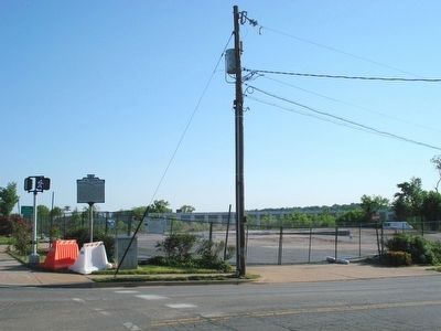
Wider view of the marker and the future park area.
SHOWN IN SOURCE-SPECIFIED ORDER
| On South Washington Street (Local Route 400) at Church Street, on the right when traveling south on South Washington Street. |
| | Federal authorities established a cemetery here for newly freed African Americans during the Civil War. In January 1864, the military governor of Alexandria confiscated for use as a burying ground an abandoned pasture from a family with Confederate . . . — — Map (db m122082) HM |
| On Cemetery Circle south of Wilkes Street, on the right when traveling south. |
| | . . . — — Map (db m73446) HM |
| On West Street at Duke Street (Virginia Route 236) on West Street. |
| | Text, upper half of marker panel:
This house, built by Emmanuel Jones by 1888, stands at the corner of a block that witnessed the extremes of 19th century African American experience. From a slave trading company to significant . . . — — Map (db m46124) HM |
May. 4, 2024