3 entries match your criteria.
Related Historical Markers
To better understand the relationship, study each marker in the order shown.
By Roger Dean Meyer, May 13, 2007
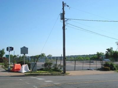
Wider view of the marker and the future park area.
SHOWN IN SOURCE-SPECIFIED ORDER
| On South Washington Street (Local Route 400) at Church Street, on the right when traveling south on South Washington Street. |
| On Cemetery Circle south of Wilkes Street, on the right when traveling south. |
| On West Street at Duke Street (Virginia Route 236) on West Street. |
May. 18, 2024