6 entries match your criteria.
Related Historical Markers
See all the markers along the Colter’s Hell Trail.
By Bill Coughlin, July 25, 2015
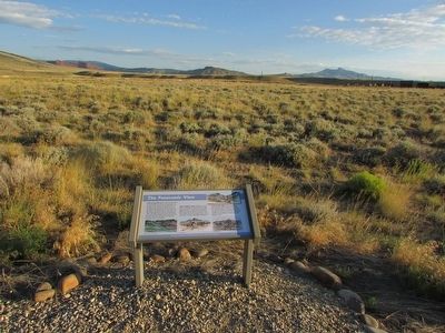
The Panoramic View Marker
SHOWN IN SOURCE-SPECIFIED ORDER
| On W Yellowstone Avenue (U.S. 20) 0.1 miles west of Demaris Drive, on the right when traveling west. |
| Near W Yellowstone Avenue (U.S. 20), on the right when traveling west. |
| Near W Yellowstone Avenue (U.S. 20), on the right when traveling west. |
| Near W Yellowstone Avenue (U.S. 20), on the right when traveling west. |
| Near W Yellowstone Avenue (U.S. 20), on the right when traveling west. |
| Near W Yellowstone Avenue (U.S. 20), on the right when traveling west. |
Jun. 1, 2024