2 entries match your criteria.
Related Historical Markers
By Bill Kirchner, April 17, 2012
Rear of: Rabbit Ear Mountain Marker
SHOWN IN SOURCE-SPECIFIED ORDER
| On U.S. 64 at milepost 428, on the right when traveling east. |
| | These two striking mounds were the first features to become visible to Santa Fe Trail traffic crossing into New Mexico from Oklahoma, and so became important landmarks for caravans.
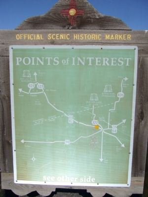
From here, traffic on this major 19th century commercial route . . . — — Map (db m55219) HM |
| On U.S. 64, 0.3 miles south of 1st Street (State Road 453), on the left when traveling south. |
| | . . . — — Map (db m88749) HM |
May. 3, 2024