Near Grenville in Union County, New Mexico — The American Mountains (Southwest)
Santa-Fe Trail
Photographed by Mark Hilton, September 15, 2015
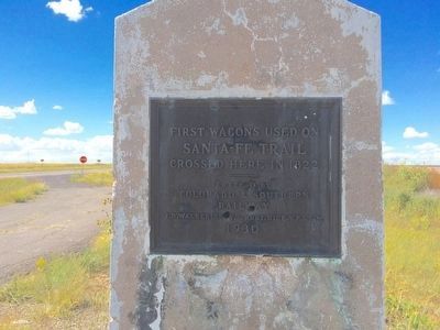
1. Santa-Fe Trail Marker
Santa-Fe Trail
crossed here in 1822
——
Erected by
Colorado & Southern
Railway
J.D. Walker, Supt. - Robt. Rice, V.P. & G.M.
1930
Erected 1930 by the Colorado & Southern Railway.
Topics and series. This historical marker is listed in these topic lists: Railroads & Streetcars • Roads & Vehicles. In addition, it is included in the Santa Fe Trail series list. A significant historical year for this entry is 1822.
Location. 36° 33.992′ N, 103° 34.019′ W. Marker is near Grenville, New Mexico, in Union County. It is on U.S. 64 0.3 miles south of 1st Street (State Road 453), on the left when traveling south. Touch for map. Marker is at or near this postal address: US-64, Grenville NM 88424, United States of America. Touch for directions.

Regionally, this marker is in Eastern New Mexico. It is also in the American Southwest, in the Mountain West, on the Great Plains, on the Southern Plains, on the High Plains, and on the Santa Fe Trail Corridor. Globally, it is in North America, the Rocky Mountains, the Western Hemisphere, the Western World, and the Anglosphere. Historically,
this page online
Other nearby markers. At least one other marker is within walking distance of this marker: The Santa Fe Trail (here, next to this marker).
Also see . . . Santa Fe Trail. Wikipedia entry (Submitted on May 13, 2026, by Larry Gertner of New York, New York.)
Photographed by Mark Hilton, September 15, 2015
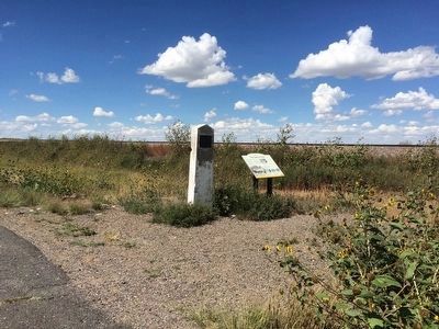
2. Santa-Fe Trail Marker & nearby interpretive marker near rail lines.
Photographed by Mark Hilton, September 15, 2015
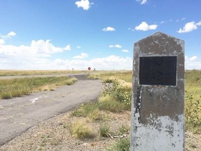
3. The view north on US Highway 64.
Photographed by Mark Hilton, September 15, 2015
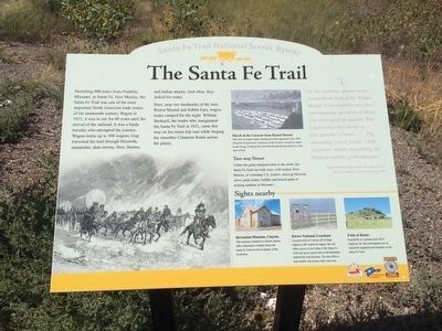
4. Nearby Santa-Fe Trail Interpretive Marker
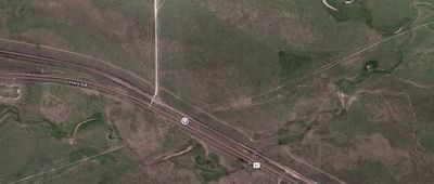
Photographed by Google Maps
5. Santa-Fe Trail
Southwest & Northeast of the marker on Highway 64, on this map, you can see the straight-line trail still visible today.
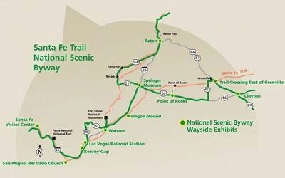
the Federal Highway Administration and the New Mexico Department of Tourism.
6. Santa-Fe Trail Map in New Mexico
Credits. This page was last revised on May 13, 2026. It was originally submitted on September 19, 2015, by Mark Hilton of Montgomery, Alabama. This page has been viewed 1,089 times since then and 58 times this year. Photos: 1, 2, 3, 4, 5, 6. submitted on September 19, 2015, by Mark Hilton of Montgomery, Alabama.
