2 entries match your criteria.
Related Historical Markers
To better understand the relationship, study each marker in the order shown.
By Richard Denney
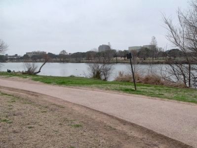
Shoal Creek Marker in context
SHOWN IN SOURCE-SPECIFIED ORDER
| Near West Cesar Chavez Street west of Nueces Street, on the right when traveling west. |
| | Native Americans, settlers and cattle drovers crossed the river here where Shoal Creek's sand made the water shallow. During Republic days Vice President Mirabeau Lamar camped here, near the village of Waterloo while hunting buffalo. His . . . — — Map (db m27244) HM |
| Near Albata Avenue at Ardath Street, on the left when traveling north. |
| | Limestone quarried at this site was hauled to Congress Avenue by oxen and used in constructing the 1853 Texas Capitol Building. The structure burned in 1881, but stone from the Capitol ruins was later used in several Austin building projects. The . . . — — Map (db m161611) HM |
May. 5, 2024