Marker Logo HMdb.org THE HISTORICAL
MARKER DATABASE
“Bite-Size Bits of Local, National, and Global History”


14 entries match your criteria.  


Virginia, Norfolk Heritage Cannonball Trail Historical Markers

Forty sites along the Norfolk Heritage Cannonball Trail provide a "story-telling stage" for intepreting Norfolk's rich and multi-faceted history.
 
The Church image, Touch for more information
By Laura Troy, November 4, 2007
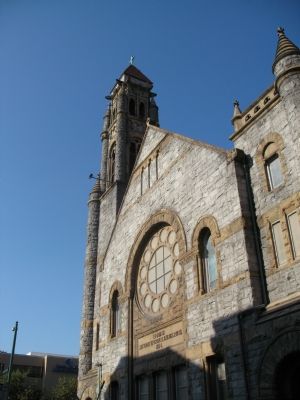
The Church
1 Virginia, Norfolk, Downtown — Epworth United Methodist Church, 1894
On E Freemason St, on the right when traveling west.
2 Virginia, Norfolk, Downtown — Flood Protection for Downtown Norfolk
On Boush Street north of W Main Street, on the right when traveling south.
3 Virginia, Norfolk, Downtown — Half Moone Fort, 1673
Near Waterside Drive at Boush Street.
4 Virginia, Norfolk, Downtown — St. Paul’s Church, 1739
Near Cumberland Street near Market Street.
5 Virginia, Norfolk, Downtown — The Cedar
Near Waterside Drive near Boush Street.
6 Virginia, Norfolk, Downtown — The First Battle of Ironclad Ships, 1862
On Waterside Drive near Boush Avenue.
7 Virginia, Norfolk, Naval Museums — Battleship Wisconsin: BB-9 and BB-64in the Homeport of Naval History
Near Waterside Drive at Boush Street.
8 Virginia, Norfolk, Naval Museums — Battleship Wisconsin: Berthed in Norfolk,the Homeport of Naval History
Near Waterside Drive at Boush Street.
9 Virginia, Norfolk, Naval Museums — Battleship Wisconsin: A Floating Fortress
Near Waterside Drive at Boush Street.
10 Virginia, Norfolk, Town Point Park — Armed Forces Memorial
Near Waterside Drive at Boush Avenue.
11 Virginia, Norfolk, Town Point Park — Atlantic Intracoastal Waterway
Near Waterside Drive at Boush Avenue.
12 Virginia, Norfolk, Town Point Park — Downtown Waterfront Revitalization
Near Waterside Drive near Boush Avenue.
13 Virginia, Norfolk, Town Point Park — Navy Escort Carriers Based in Norfolk
On Waterside Drive near Boush Avenue.
14 Virginia, Norfolk, Waterside Promenade — The Underground Railroad
Near Waterside Drive.
 
 
CeraNet Cloud Computing sponsors the Historical Marker Database.
This website earns income from purchases you make after using our links to Amazon.com. We appreciate your support.
Paid Advertisement
May. 1, 2024