Town Point Park in Norfolk, Virginia — The American South (Mid-Atlantic)
Downtown Waterfront Revitalization

Photographed by Laura Troy, November 4, 2007
1. Downtown Waterfront Revitalization Marker
The three cannons at the head of Otter Berth were found during the dredging of this part of the waterfront in 1982. They are of unknown foreign origin, but their vintage is compatible with the bombardment of Norfolk on January 1, 1776. Otter Berth is named for HMS Otter, one of Lord Dunmore’s ships that bombarded Norfolk on January 1, 1776.
Topics and series. This historical marker is listed in these topic lists: Industry & Commerce
this page online
Location. 36° 50.793′ N, 76° 17.718′ W. Marker is in Norfolk, Virginia. It is in Town Point Park. It can be reached from Waterside Drive near Boush Avenue. This marker is located on a dock at the Waterside Shopping area. Touch for map. Marker is in this post office area: Norfolk VA 23510, United States of America. Touch for directions.

Regionally, this marker is in Virginia’s Hampton Roads, specifically in Coastal Virginia, and in the Hampton Roads Metropolitan Area. It is also in the American South, specifically in the Upper South, in the Tidewater, and on the Eastern Seaboard. Globally, it is in the North Atlantic Region, North America, the Western Hemisphere, the Western World, and the Anglosphere. Historically, it finds itself in what was once the territory of the Mississippian Culture, one of the original Thirteen Colonies, one of the Confederate States of America, and the Antebellum South.
Other nearby markers. At least 8 other markers are within
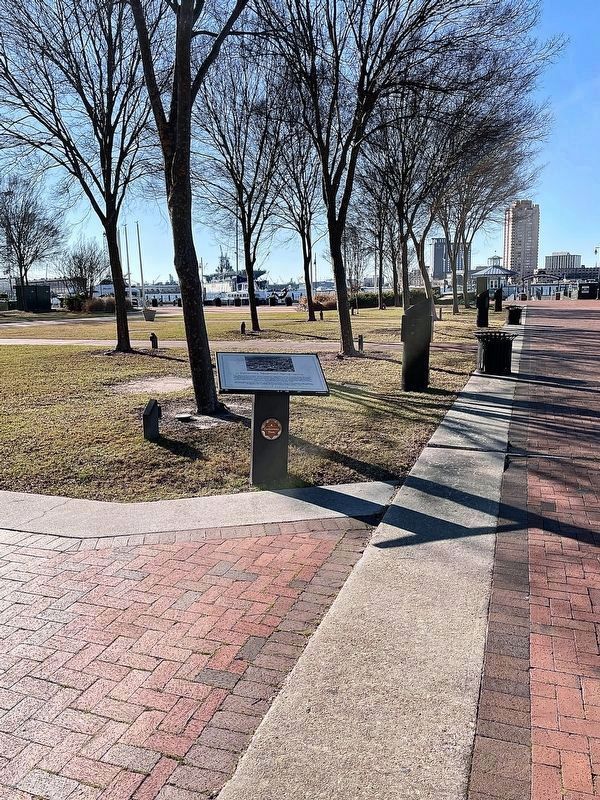
Photographed by Brandon D Cross, January 18, 2022
2. Downtown Waterfront Revitalization Marker
More about this marker. This marker is part of the Norfolk Heritage Cannonball Trail.
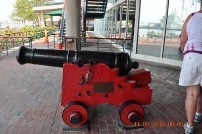
Photographed by Sandra Hughes, August 11, 2010
3. Red Cannon near Joes Crab Shack
They are of Revolutionary War vintage and are of unknown foreign origin.
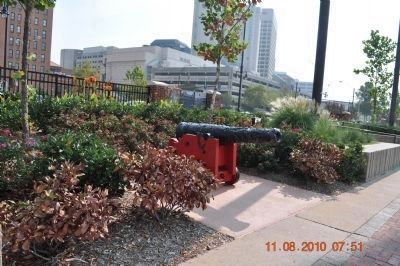
Photographed by Sandra Hughes, August 11, 2010
4. Cannon
They are of Revolutionary War vintage and are of unknown foreign origin.
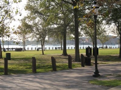
Photographed by Laura Troy, November 4, 2007
5. Town Point Park
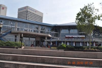
Photographed by Sandra Hughes, August 11, 2010
6. Red Cannon near Joes Crab Shack at Waterside Market Place
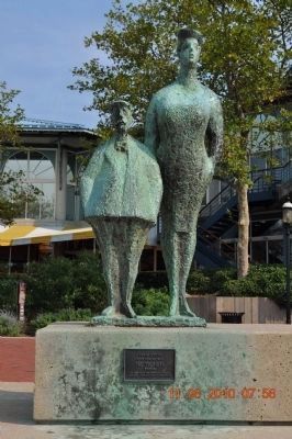
Photographed by Sandra Hughes, August 11, 2010
7. The Tourists
Chaim Cross
American, B. 1904
The Tourists
Bronze
On loan from the Chrysler Museum,
Norfolk, Virginia: Gift of the Artist

Photographed by Sandra Hughes, August 11, 2010
8. Nauticus
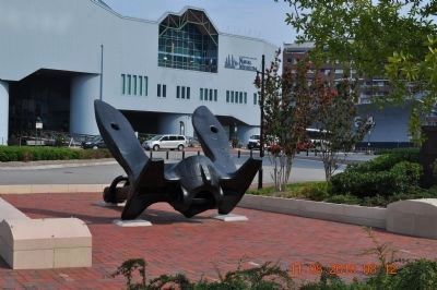
Photographed by Sandra Hughes, August 11, 2010
9. Naval Museum & Anchor
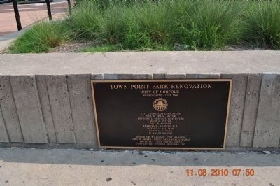
Photographed by Sandra Hughes, August 11, 2010
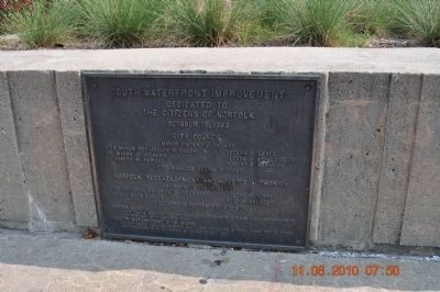
10. Town Point Park Renovation
Photographed by Sandra Hughes, August 11, 2010
11. South Waterfront Improvements
Dedicated to the citizens of Norfolk
October 16, 1983
Photographed by Sandra Hughes, August 11, 2010
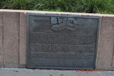
12. Norfolk 1862
Photographed by Sandra Hughes, August 11, 2010
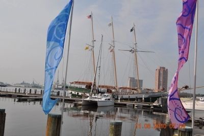
13. Waterfront ~Marina
Credits. This page was last revised on October 26, 2023. It was originally submitted on November 11, 2007, by Laura Troy of Burke, Virginia. This page has been viewed 1,932 times since then and 29 times this year. Photos: 1. submitted on November 11, 2007, by Laura Troy of Burke, Virginia. 2. submitted on January 18, 2022, by Brandon D Cross of Flagler Beach, Florida. 3, 4. submitted on September 22, 2010, by Sandra Hughes Tidwell of Killen, Alabama, USA. 5. submitted on November 11, 2007, by Laura Troy of Burke, Virginia. 6, 7, 8, 9, 10, 11, 12, 13. submitted on September 22, 2010, by Sandra Hughes Tidwell of Killen, Alabama, USA. • J. J. Prats was the editor who published this page.
