On Main Street at U.S. 31w, on the right when traveling west on Main Street.
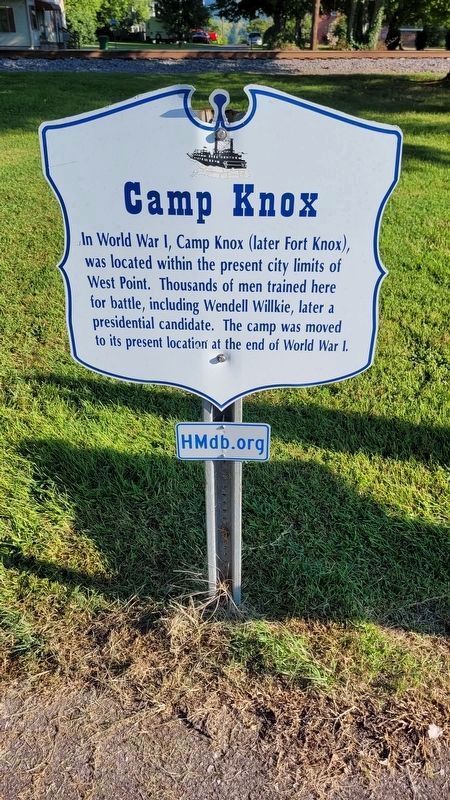
In World War I, Camp Knox (later Fort Knox), was located within the present city limits of West Point. Thousands of men trained here for battle, including Wendell Willkie, later a presidential candidate. The camp was moved to its present location at . . . — — Map (db m208806) HM
On Main Street (Kentucky Route 835) at South 6th Street, on the left when traveling west on Main Street.
Union Army General William T. Sherman built a fort on top of the hill overlooking West Point in 1861 to protect the supply base here. The trenches remain intact to this date. It was named Fort Duffield, in honor of the father of the post commander. . . . — — Map (db m131305) HM
On Elm Street at North 11th Street, on the left when traveling east on Elm Street.
Bob and Randell Atcher, well-known country music stars of the mid-20th century, were raised in West Point. Their home was at 1010 Elm Street. Bob was the MC of the old WLS National Barn Dance in Chicago. Randy Atcher was MC and host to Hayloft . . . — — Map (db m122092) HM
On Elm Street at North 4th Street, on the left when traveling east on Elm Street.
Ditto-Lansdale House
This house was built by Abraham Ditto and his brother-in-law, Samuel Lansdale, in 1823. During the War Between the States, it served as a military hospital and in World War I, it was an army canteen.
Civil War . . . — — Map (db m122107) HM
On North 4th Street, on the right when traveling north.
The boat landing for West Point was known by its Spanish name of "Embarcadero." Flatboats would leave from here for New Orleans. — — Map (db m122105) HM
On Elm Street at North 2nd Street, on the right when traveling east on Elm Street.
This Federal style house was built by the town's founder, James Young, in 1797. Clara Barton, founder of the American Red Cross, stayed here while distributing flood relief to the victims of the 1884 flood. — — Map (db m122119) HM
On Elm Street at North 13th Street, on the right when traveling east on Elm Street.
Jean Neel Ford, wife of US Senator and former Governor Wendall Ford, was born in a house that once stood on this lot. Her father, Hoover Neel was LH & St. L Railway agent here. — — Map (db m122088) HM
On Elm Street at North 4th Street, on the right when traveling east on Elm Street.
This old bank building was erected around 1900 to house the old Kentucky and Indiana Bank. The Cumberland Telephone Company occupied the second floor. — — Map (db m122098) HM
On Elm Street at North 5th Street, on the right when traveling east on Elm Street.
A cobblestone turnpike was built to connect West Point and Nashville, Tennessee in 1839. Stagecoach lines operated from here to Nashville and also to Shawneetown, Illinois. — — Map (db m122095) HM
On Elm Street at North 3rd Street, on the left when traveling east on Elm Street.
Samuel Pearman and a group of 12 men built a log cabin on this site in 1776. This was the first attempt at settlement in Hardin County. — — Map (db m122110) HM
On North 2nd Street at Mulberry Street, on the right when traveling north on North 2nd Street.
200 feet east of here (across railroad tracks) is the James Young Family cemetery. The first known burial took place in the year 1800. Also buried here is a pioneer river man, known only to God. — — Map (db m122122) HM
On Elm Street at North 2nd Street, on the right when traveling east on Elm Street.
This home, built in 1899, was purchased pre-cut from a Sears and Roebuck catalog. A local carpenter assembled it. It was known as the "Three-I" pattern due to its popularity in the states of Indiana, Illinois and Iowa. — — Map (db m122115) HM
On Elm Street at North 4th Street, on the left when traveling east on Elm Street.
Troops under the command of General William Sherman had their headquarters in this house in 1861. Built in 1845, it was known as the Judge Fisher home. — — Map (db m122099) HM
On Elm Street at North 6th Street, on the right when traveling east on Elm Street.
You are now standing on the 38th parallel line, the same line that separates North and South Korea. The line goes completely around the earth and passes thru West Point at this spot. — — Map (db m122094)
On Elm Street at North 3rd Street, on the right when traveling east on Elm Street.
From 1796 until about 1860, a Salt Warehouse stood on this lot. Salt was manufactured near here, thus Salt River received its name. — — Map (db m122108) HM
On Main Street at 4th Street, on the left when traveling west on Main Street.
West Point, founded in 1796, received its name from the fact that when the town was established, it was the western-most point in the so-called English civilization. — — Map (db m122085) HM