Markers related to eastern Pennsylvania's Schuylkill Canal, which ran from Port Carbon to Philadelphia, providing anthracite coal to the growing metropolis through much of the 1800s into the early 20th century.
On Main Street (Pennsylvania Route 443) at Parkway, on the left when traveling west on Main Street.
This 1880 image shows Motzer's Bakery on present day Parkway, then known as Canal Street. Greenawalt's store was located here, beginning in 1926. Children stand near the edge of the Schuylkill Canal in the foreground. Stables, a . . . — — Map (db m232962) HM
On Parkway (Pennsylvania Route 443) at Columbia Street (Pennsylvania Route 443), in the median on Parkway.
Parkway was known as Canal Street when this circa 1908 photograph was taken. Many of the homes are still recognizable today. At this time, work had begun on reclamation of the canal bed in the foreground, for the purpose of establishing the . . . — — Map (db m233070) HM
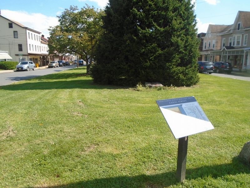
On Parkway (Pennsylvania Route 443) at Columbia Street (Pennsylvania Route 443), in the median on Parkway.
Looking south on Parkway, this circa 1930 photograph shows the "islands" created as a park, where the canal had previously traversed through the town. The shoe factory on the immediate right was originally established in 1887 as Berger, . . . — — Map (db m233095) HM
On Parkway at Penn Street, in the median on Parkway.
Part of the gate from Lock No. 12, known as Bausman's Lock, located in Schuylkill Haven near South Garfield Avenue and Berger Street. Uncovered during a flood control project, it was removed in 1984 and loaned to the transportation museum in Port . . . — — Map (db m233102) HM