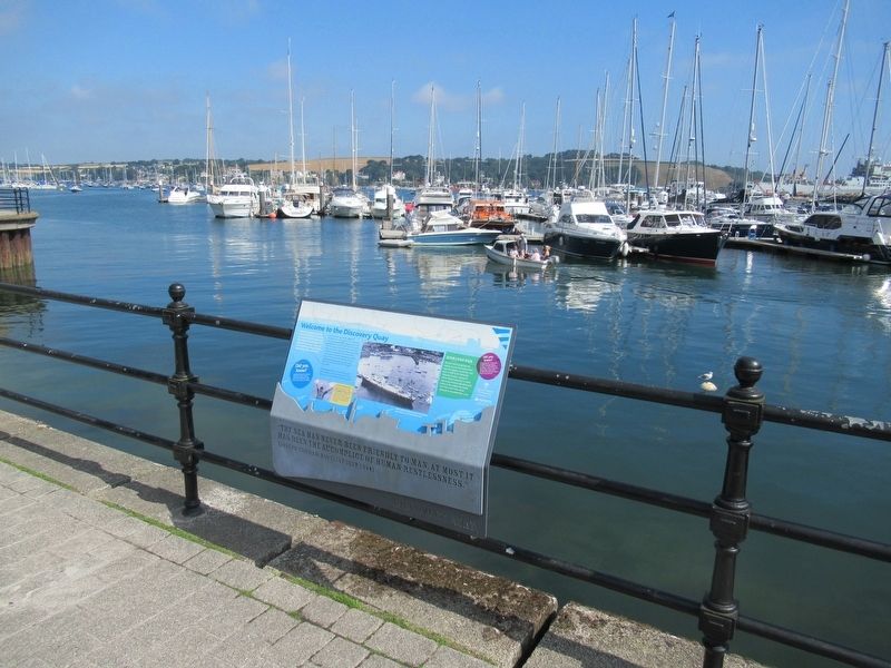
Near Avenue Road at Campbeltown Way, on the right when traveling north.
Welcome to the Discovery Quay
From the quayside and the National Maritime Museum Cornwall (NMMC), there are fine vistas of the harbour with Falmouth's historic fabric of tiered harbourside properties dominating the waterfront.
The Port . . . — — Map (db m124016) HM
On Pendennis Rise, 0.2 kilometers south of Castle Drive, on the right when traveling south.
Welcome to Falmouth Docks
The port of Falmouth’s greatest asset is its deep and sheltered harbour. Amny mariners throughout the centuries have long regarded Falmouth as the “First and Last Port” for ships crossing the Atlantic . . . — — Map (db m124042) HM
Near Avenue Road at Campbeltown Way, on the right when traveling north.
Coastal Forces of World War II
HMS Forte IV
This plaque commemorates the men and women of Allied Coastal Forces who served with the Royal Navy at HMS Forte IV at Falmouth between 1941 and 1946. At HMS Forte IV Motor Torpedo Boats, Motor Gunboats . . . — — Map (db m124014) WM
On Avenue Road at Campbeltown Way, on the right when traveling north on Avenue Road.
The granite pyramid was erected in 1737 by Martin Lister Killigrew the owner of Arwenack. He never stated specifically the purpose of it, but many have assumed it to be a memorial to the Killigrew family.
The Killigrew Family
The Killigrew s . . . — — Map (db m124012) HM
Near Avenue Road at Campbeltown Way, on the right when traveling north.
This stone commemorates the start of work on the National Maritime Museum Cornwall in the presence of HRH The Duke of Edinburgh twenty-seventh of July nineteen ninety-nine — — Map (db m124017) HM
Near Castle Drive, 0.8 kilometers south of Cliff Road, on the left when traveling south.
Welcome to Pendennis Point
Black Rock and St Anthony's Lighthouse
Black Rock, the isolated rock located in the entrance to Falmouth Harbour, roughly divides it into two distinct channels: the eastern deep-water channel and the western . . . — — Map (db m124043) HM
Near Avenue Road at Campbeltown Way, on the right when traveling north.
Early in the 17th century, according to local legend, Sir Walter Raleigh pointed out to Sir John Killigrew of Arwenack that Falmouth was the ideal site for a port to handle sailing ships. In 1611 John Speed wrote “Falmouth is so copious, . . . — — Map (db m124018) HM
On Castle Drive, 0.8 kilometers south of Cliff Road, on the right when traveling south.
There have been defences on this point since 1539, when Henry Ill built a blockhouse known as 'Little Dennis' to protect the estuary from enemy warships.
The blockhouse was equipped with heavy guns. You can see three gun openings at ground level . . . — — Map (db m124044) HM